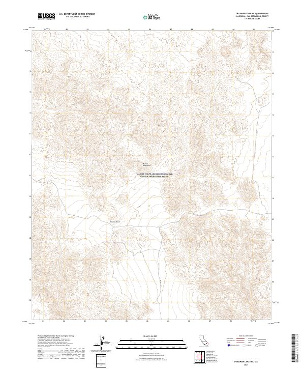
2021 Map of Deadman Lake NE
USGS Topo · Published 2021About this map
The Bullion Mountains dominate the landscape of this high-desert region, situated within the vast expanse of the Mojave Desert. The terrain is defined by complex contour elevations that illustrate the sheer relief of the mountain range as it cuts through the San Bernardino County interior. This specific area reflects a modern surveying of public land divisions, including townships t4n r8e and t5n r9e, showing the intersection of managed natural resources and public land systems. The most prominent human-made feature is the Bagdad Hwy, which traverses the southern portion of the range. The road serves as a vital corridor through the otherwise uninhabited mountain terrain, connecting the high desert flats with the more complex topography of the Bullion range.
Find a feature on this map
9 named features on this map. Tap any name to fly to it.
Don’t see what you’re looking for? This feature index may not catch every label — zoom into the map to look around manually.
Map Details
Editions of this 2021 Deadman Lake NE Map
This is the sole edition of this map. No revisions or reprints were ever made.
Other maps of this area

1942 · Amboy
USGS Topo · 1:250,000

1943 · Amboy
USGS Topo · 1:250,000

1953 · San Bernardino
USGS Topo · 1:250,000

1954 · Needles
USGS Topo · 1:250,000

1954 · Bagdad SW
USGS Topo · 1:24,000

1954 · Ludlow SE
USGS Topo · 1:24,000

1955 · Deadman Lake NW
USGS Topo · 1:24,000

1955 · Morgans Well
USGS Topo · 1:24,000

1955 · Lead Mountain
USGS Topo · 1:24,000

1955 · Deadman Lake SE
USGS Topo · 1:24,000