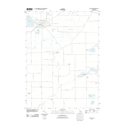
2011 Map of Decatur
USGS Topo · Published 2011About this map
Decatur serves as the primary hub of this Van Buren County landscape, anchored by its Decatur Post Office and residential grid south of Lake of the Woods. The terrain is defined by a complex drainage system, where the Dowagiac Drain and Dowagiac Creek wind through agricultural sections punctuated by small water bodies like Pickerel Lake and Swift Lake. This 2011 survey reveals a high density of burial grounds, providing an exceptional resource for genealogists researching family names tied to Lakeside Cemetery, Harrison Cemetery, and the more remote Haight Cemetery to the east.
Find a feature on this map
77 named features on this map. Tap any name to fly to it.
Don’t see what you’re looking for? This feature index may not catch every label — zoom into the map to look around manually.
Map Details
Editions of this 2011 Decatur Map
This is the sole edition of this map. No revisions or reprints were ever made.
Other maps of this area

1927 · Hartford
USGS Topo · 1:62,500

1931 · Hartford
USGS Topo · 1:62,500

1944 · Marcellus
USGS Topo · 1:62,500

1945 · Cassopolis
USGS Topo · 1:62,500

1946 · Marcellus
USGS Topo · 1:62,500

1947 · Cassopolis
USGS Topo · 1:62,500

1948 · Vandalia
USGS Topo · 1:62,500

1949 · Vandalia
USGS Topo · 1:62,500

1953 · Fort Wayne
USGS Topo · 1:250,000

1953 · Chicago
USGS Topo · 1:250,000