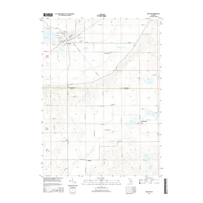
2014 Map of Decatur
USGS Topo · Published 2014About this map
Decatur serves as the primary hub of this landscape, situated near the shores of Lake of the Woods and Mud Lake. The village grid is defined by streets such as W Edgar Bergen Blvd and Paw Paw St, reflecting a well-established community surrounded by productive agricultural lands and natural drainage systems like Dowagiac Drain. The map documents a high density of small rural burial grounds, including Lakeside Cem, Harrison Cem, and Crane Cem, which offer significant genealogical value for those tracing early settlers in both Van Buren and Cass counties.
Find a feature on this map
62 named features on this map. Tap any name to fly to it.
Don’t see what you’re looking for? This feature index may not catch every label — zoom into the map to look around manually.
Map Details
Editions of this 2014 Decatur Map
This is the sole edition of this map. No revisions or reprints were ever made.
Other maps of this area

1927 · Hartford
USGS Topo · 1:62,500

1931 · Hartford
USGS Topo · 1:62,500

1944 · Marcellus
USGS Topo · 1:62,500

1945 · Cassopolis
USGS Topo · 1:62,500

1946 · Marcellus
USGS Topo · 1:62,500

1947 · Cassopolis
USGS Topo · 1:62,500

1948 · Vandalia
USGS Topo · 1:62,500

1949 · Vandalia
USGS Topo · 1:62,500

1953 · Fort Wayne
USGS Topo · 1:250,000

1953 · Chicago
USGS Topo · 1:250,000