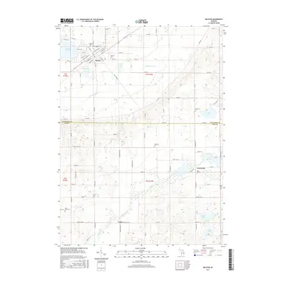
2017 Map of Decatur
USGS Topo · Published 2017About this map
The village of Decatur serves as the focal point of this modern survey of Southwest Michigan, situated where the glacial landscape creates a complex network of wetlands and small lakes. The town's grid is bounded by E Edgar Bergen Blvd and extends toward the shores of the Lake of the Woods. This area marks a significant agricultural and hydrological divide, characterized by the Dowagiac Drain and Dowagiac Cr which channel water through the township toward the Cass County line. For those researching local heritage, the map identifies numerous small burial grounds including Lakeside Cem and Harrison Cem. Further south, the rural hamlets of Nicholsville and Volinia remain distinct landmarks, surrounded by family-named water bodies like Cowham Lake and Copley Lake. The proximity of the Van Buren Co Cass Co line provides a clear boundary for regional historical study.
Find a feature on this map
64 named features on this map. Tap any name to fly to it.
Don’t see what you’re looking for? This feature index may not catch every label — zoom into the map to look around manually.
Map Details
Editions of this 2017 Decatur Map
This is the sole edition of this map. No revisions or reprints were ever made.
Other maps of this area

1927 · Hartford
USGS Topo · 1:62,500

1931 · Hartford
USGS Topo · 1:62,500

1944 · Marcellus
USGS Topo · 1:62,500

1945 · Cassopolis
USGS Topo · 1:62,500

1946 · Marcellus
USGS Topo · 1:62,500

1947 · Cassopolis
USGS Topo · 1:62,500

1948 · Vandalia
USGS Topo · 1:62,500

1949 · Vandalia
USGS Topo · 1:62,500

1953 · Fort Wayne
USGS Topo · 1:250,000

1953 · Chicago
USGS Topo · 1:250,000