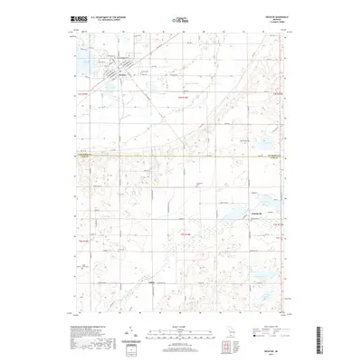
2019 Map of Decatur
USGS Topo · Published 2019About this map
Decatur sits at the northern edge of this West Michigan landscape, where the town grid transitions into a network of country roads and glaciated water bodies. The terrain is defined by the Dowagiac Drain and Dowagiac Cr, which cut through a mosaic of wetlands and agricultural tracts. Local history is deeply rooted in the scattered cemeteries that anchor these rural townships, including Harrison Cem near the village and the Charleston Cem further south.
Find a feature on this map
68 named features on this map. Tap any name to fly to it.
Don’t see what you’re looking for? This feature index may not catch every label — zoom into the map to look around manually.
Map Details
Editions of this 2019 Decatur Map
This is the sole edition of this map. No revisions or reprints were ever made.
Other maps of this area

1927 · Hartford
USGS Topo · 1:62,500

1931 · Hartford
USGS Topo · 1:62,500

1944 · Marcellus
USGS Topo · 1:62,500

1945 · Cassopolis
USGS Topo · 1:62,500

1946 · Marcellus
USGS Topo · 1:62,500

1947 · Cassopolis
USGS Topo · 1:62,500

1948 · Vandalia
USGS Topo · 1:62,500

1949 · Vandalia
USGS Topo · 1:62,500

1953 · Fort Wayne
USGS Topo · 1:250,000

1953 · Chicago
USGS Topo · 1:250,000