Loading...
Loading map...2023 Map of Decatur
USGS Topo · Published 2023About this map
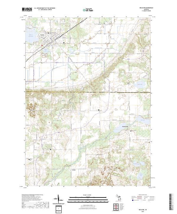
Decatur anchors the northwestern corner of this landscape, where the grid of Pine St and Cedar St meets the natural boundary of Lake of the Woods. The terrain transition south into Cass County is marked by a network of drainage and water bodies, including Dowagiac Drain and Mud Lake. This area is characterized by scattered rural settlements and numerous family-named landmarks that offer significant value for genealogical research.
Find a feature on this map
69 named features on this map. Tap any name to fly to it.
Don’t see what you’re looking for? This feature index may not catch every label — zoom into the map to look around manually.
Map Details
Date Portrayed2023
Date Published2023
PublisherU.S. Geological Survey
Map TypeTopographic
Scale1:24000
Physical Dimensions24 x 29 inches
Editions of this 2023 Decatur Map
This is the sole edition of this map. No revisions or reprints were ever made.
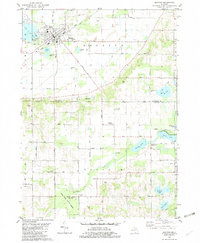
Historical Maps of Volinia Through Time
Featured Locations
- Marcellus Township, MI
- Wayne Township, MI
- Decatur Township, MI
- Volinia, Volinia Township
- Decatur, Decatur Township
Source Details
SourceU.S. Geological Survey
CopyrightPublic Domain