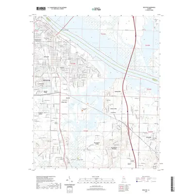
2020 Map of Decatur
USGS Topo · Published 2020About this map
Wheeler Lake and the Harris-Sweetwater Dewatering Area define the northern expanse of this Tennessee River landscape. The river's influence is seen in the extensive network of sloughs and branches, such as Crabtree Slough and Dinsmore Slough, which frame the central wetland complex near Flint Creek Island. The urban core of Decatur and neighborhoods like West Decatur, Oakworth, and Fairview demonstrate dense residential development south of the Keller Memorial Bridge, while the Morgan County Courthouse remains a central civic landmark.
Find a feature on this map
76 named features on this map. Tap any name to fly to it.
Don’t see what you’re looking for? This feature index may not catch every label — zoom into the map to look around manually.
Map Details
Editions of this 2020 Decatur Map
This is the sole edition of this map. No revisions or reprints were ever made.
Other maps of this area

1888 · Cullman
USGS Topo · 1:125,000

1888 · Huntsville
USGS Topo · 1:125,000

1892 · Cullman
USGS Topo · 1:125,000

1892 · Huntsville
USGS Topo · 1:125,000

1935 · Danville
USGS Topo · 1:48,000

1936 · Hartselle
USGS Topo · 1:24,000

1936 · Decatur
USGS Topo · 1:24,000

1936 · Stewart Cross Roads
USGS Topo · 1:24,000

1936 · Trinity
USGS Topo · 1:24,000

1936 · Somerville
USGS Topo · 1:24,000