
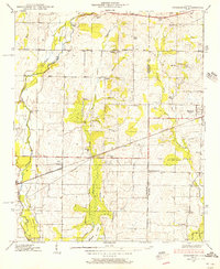
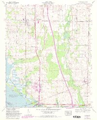
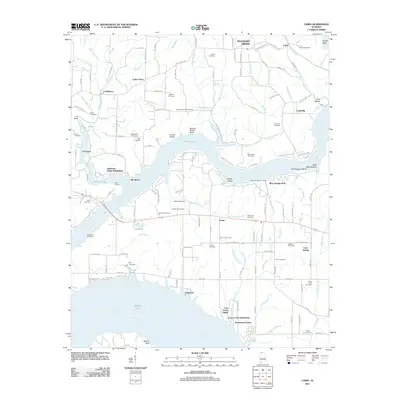
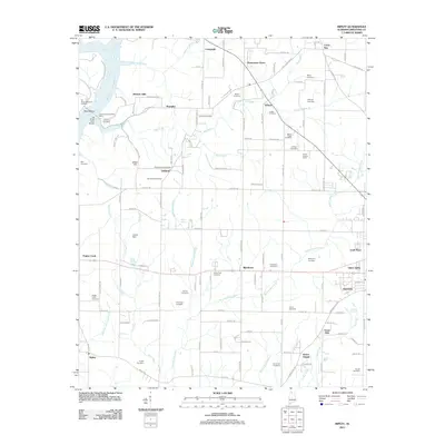
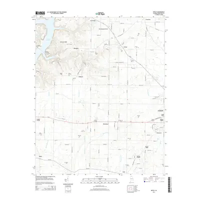
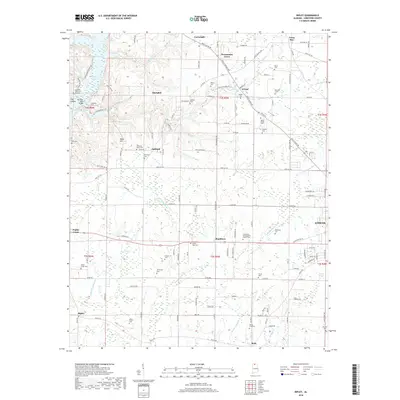
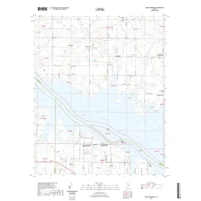
1936 Map of Stewart Cross Roads
USGS Topo · Published 1936About this map
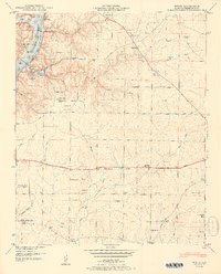
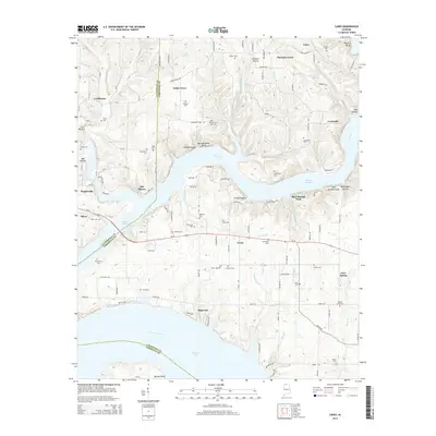
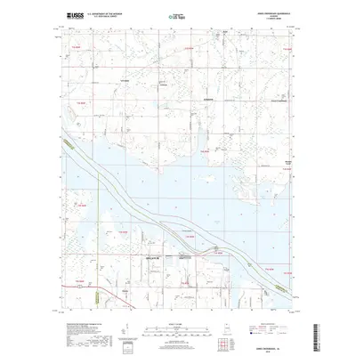
Wheeler Reservoir dominates the landscape in this 1936 survey, showing the transformative impact of the Tennessee Valley Authority on the terrain of northern Alabama. The map carefully delineates the Former Tennessee River channel beneath the newly flooded waters, preserving the original boundary lines between Limestone, Lawrence, and Morgan counties. Settlements like Stewart Cross Roads and Proctor remain on higher ground, while the margins of the reservoir are dotted with Wheeler Reservation lands.
Find a feature on this map
32 named features on this map. Tap any name to fly to it.
Don’t see what you’re looking for? This feature index may not catch every label — zoom into the map to look around manually.
Map Details
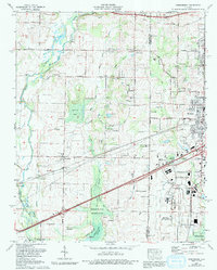
Editions of this 1936 Stewart Cross Roads Map
This is the sole edition of this map. No revisions or reprints were ever made.
Historical Maps of Decatur Through Time
65 maps found

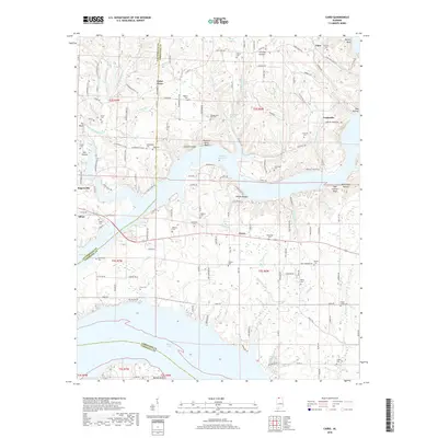
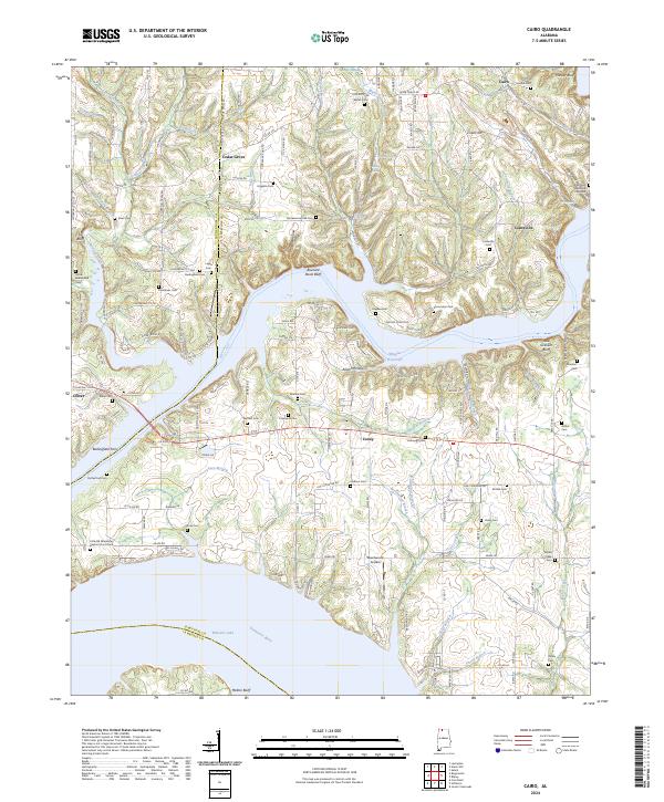
1936 Cairo
Limestone County, AL

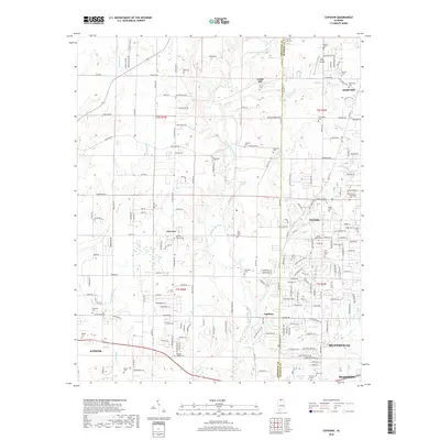
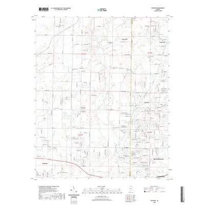
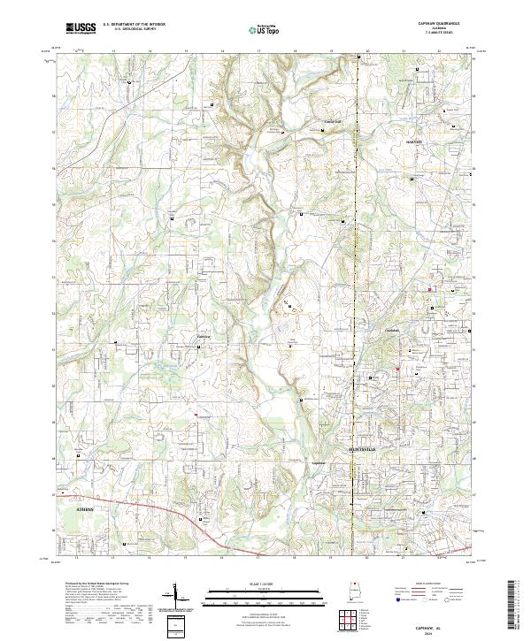
1936 Capshaw
Limestone County, AL

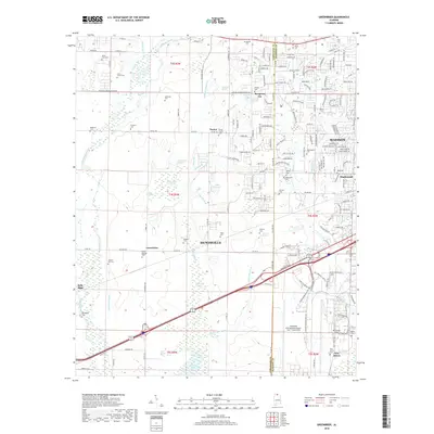
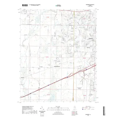
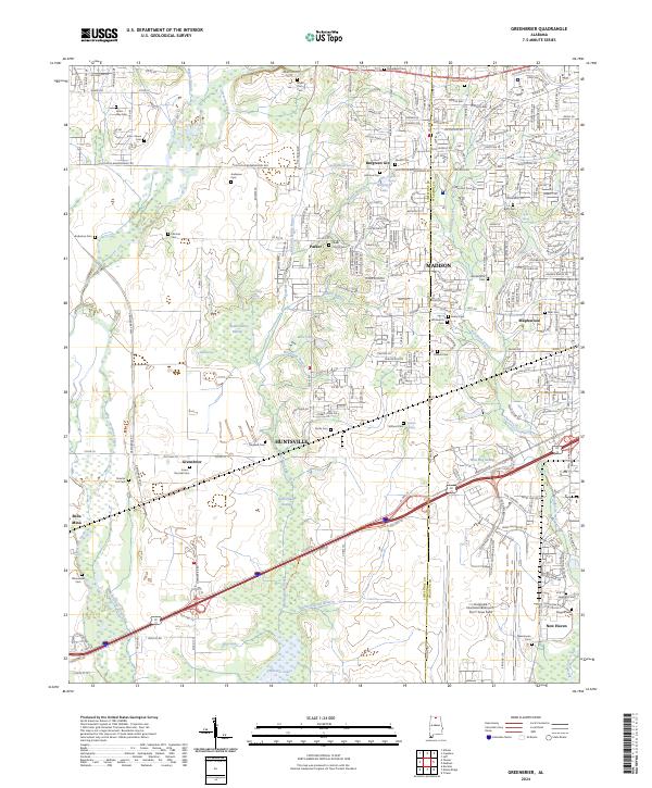
1936 Greenbrier
Limestone County, AL

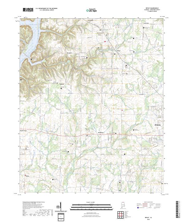
1936 Ripley
Limestone County, AL

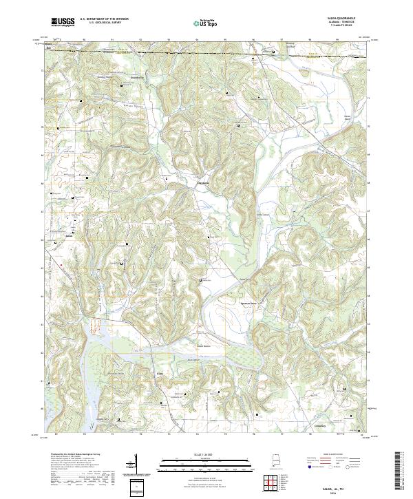
1936 Salem
Limestone County, AL
1936 Stewart Cross Roads
Limestone County, AL

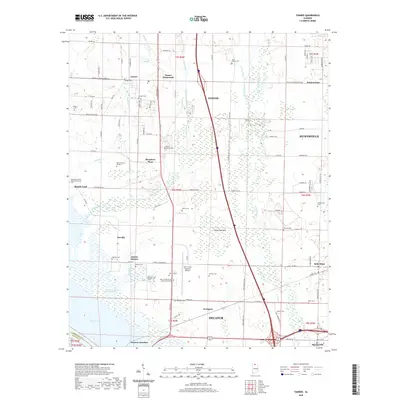
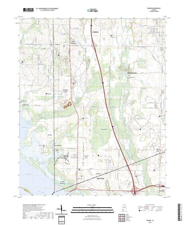
1936 Tanner
Limestone County, AL

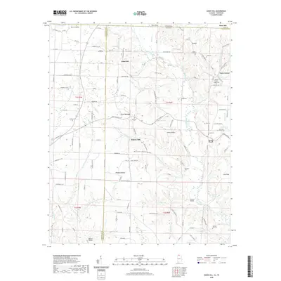
1936 Union Hill
Limestone County, AL
1938 Greenbrier
Limestone County, AL

1938 Tanner
Limestone County, AL
1948 Ripley
Limestone County, AL

1948 Salem
Limestone County, AL

1948 Union Hill
Limestone County, AL
1950 Cairo
Limestone County, AL
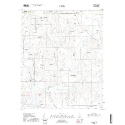
1950 Jones Crossroads
Limestone County, AL
1951 Ripley
Limestone County, AL
1951 Salem
Limestone County, AL

1951 Union Hill
Limestone County, AL
1958 Capshaw
Limestone County, AL
1963 Greenbrier
Limestone County, AL
1963 Tanner
Limestone County, AL
1975 Greenbrier
Limestone County, AL

1976 Jones Crossroads
Limestone County, AL
2010 Salem
Limestone County, AL
2010 Union Hill
Limestone County, AL
2011 Cairo
Limestone County, AL
2011 Capshaw
Limestone County, AL
2011 Greenbrier
Limestone County, AL
2011 Jones Crossroads
Limestone County, AL
2011 Ripley
Limestone County, AL
2011 Salem
Limestone County, AL
2011 Tanner
Limestone County, AL
2011 Union Hill
Limestone County, AL
2014 Cairo
Limestone County, AL
2014 Capshaw
Limestone County, AL
2014 Greenbrier
Limestone County, AL
2014 Jones Crossroads
Limestone County, AL
2014 Ripley
Limestone County, AL
2014 Salem
Limestone County, AL
2014 Tanner
Limestone County, AL
2014 Union Hill
Limestone County, AL
2018 Cairo
Limestone County, AL
2018 Capshaw
Limestone County, AL
2018 Greenbrier
Limestone County, AL
2018 Jones Crossroads
Limestone County, AL
2018 Ripley
Limestone County, AL
2018 Salem
Limestone County, AL

2018 Tanner
Limestone County, AL
2018 Union Hill
Limestone County, AL
2020 Cairo
Limestone County, AL
2020 Capshaw
Limestone County, AL
2020 Greenbrier
Limestone County, AL
2020 Jones Crossroads
Limestone County, AL

2020 Ripley
Limestone County, AL
2020 Salem
Limestone County, AL
2020 Tanner
Limestone County, AL
2020 Union Hill
Limestone County, AL
2024 Cairo
Limestone County, AL
2024 Capshaw
Limestone County, AL
2024 Greenbrier
Limestone County, AL

2024 Jones Crossroads
Limestone County, AL
2024 Ripley
Limestone County, AL
2024 Salem
Limestone County, AL
2024 Tanner
Limestone County, AL

2024 Union Hill
Limestone County, AL