Loading...
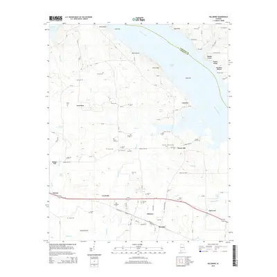
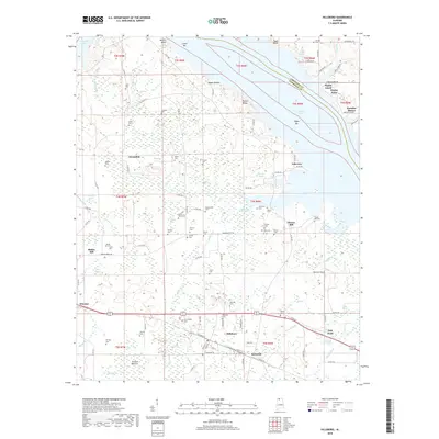
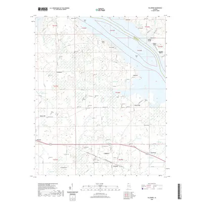
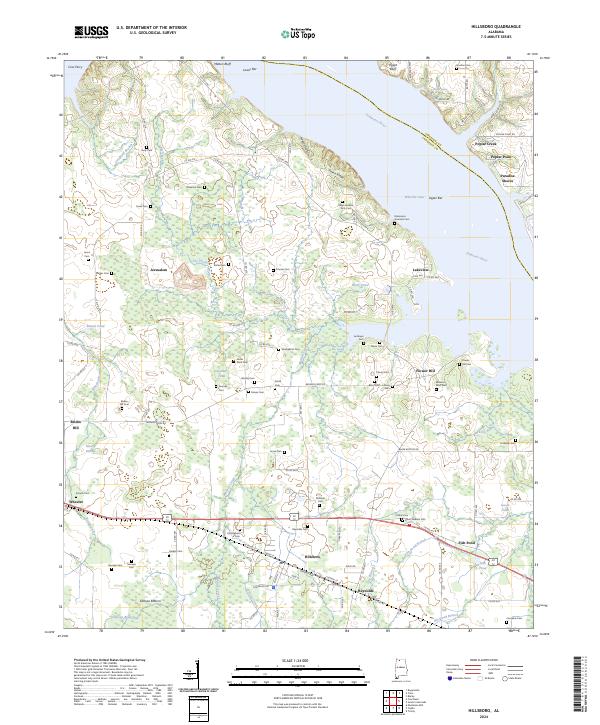
Loading map...1936 Map of Hillsboro
USGS Topo · Published 1936About this map
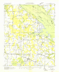
The Wheeler Reservoir landscape in 1936 reflects a massive transformation of the Tennessee River Valley. This advance sheet captures the emerging shoreline and the Wheeler Reservoir Boundary just as the Tennessee Valley Authority was reshaping the region's hydrography. South of the Former Tennessee River, the community of Hillsboro serves as a central hub, situated along the Southern Railway and the Joe Wheeler Highway.
Find a feature on this map
35 named features on this map. Tap any name to fly to it.
Don’t see what you’re looking for? This feature index may not catch every label — zoom into the map to look around manually.
Map Details
Date Portrayed1936
Date Published1936
PublisherU.S. Geological Survey
Map TypeTopographic
Scale1:24,000
Physical Dimensions22 x 26.8 inches
Editions of this 1936 Hillsboro Map
This is the sole edition of this map. No revisions or reprints were ever made.
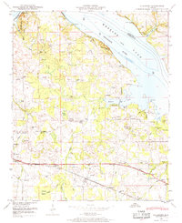
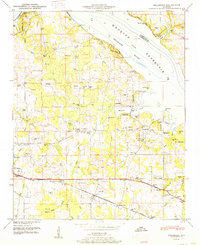
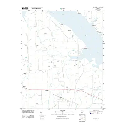
Historical Maps of Hillsboro Through Time
9 maps found

Featured Locations
Source Details
SourceU.S. Geological Survey
CopyrightPublic Domain