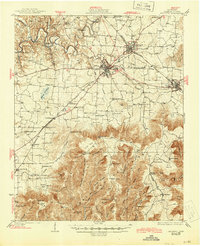
1928 Map of Decherd
USGS Topo · Published 1945About this map
Winchester and Decherd anchor this survey of the northern edge of the Cumberland Mountain plateau in the mid-1920s. The landscape is sharply divided between the valley floor, where the Nashville Chattanooga and St Louis Railway connects agricultural hubs like Belvidere and Maxwell, and the high, broken ridges of the plateau. This southern portion of the map is defined by deep, named coves such as Williams Cove and Sinking Cove, which illustrate the complex karst topography of the region.
Find a feature on this map
83 named features on this map. Tap any name to fly to it.
Don’t see what you’re looking for? This feature index may not catch every label — zoom into the map to look around manually.
Map Details
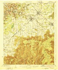
Editions of this 1928 Decherd Map
3 editions found
Other maps of this area

1886 · Stevenson
USGS Topo · 1:125,000

1888 · Scottsboro
USGS Topo · 1:125,000

1892 · Scottsboro
USGS Topo · 1:125,000

1892 · Stevenson
USGS Topo · 1:125,000

1895 · Stevenson
USGS Topo · 1:125,000

1895 · Sewanee
USGS Topo · 1:125,000

1928 · Decherd
USGS Topo · 1:62,500

1936 · King Cove
USGS Topo · 1:24,000

1936 · Sewanee
USGS Topo · 1:24,000

1936 · Alto
USGS Topo · 1:24,000