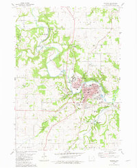
1981 Map of Decorah
USGS Topo · Published 1982About this map
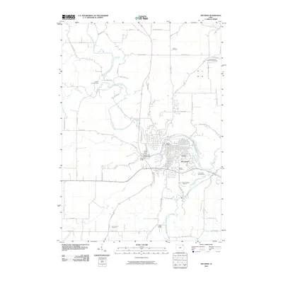
Decorah serves as the focal point of this northeast Iowa landscape, situated at a bend in the Upper Iowa River. The town is characterized by its institutional and recreational landmarks, notably the campus of Luther College and the winding river valley. To the south, the Chicago Milwaukee St Paul and Pacific railroad tracks follow the terrain, connecting the settlement to the broader region. The map reveals a high density of public spaces, including Phelps Park, Dunning's Spring Park, and the unique geological features of Ice Cave and Pulpit Rock.
Find a feature on this map
73 named features on this map. Tap any name to fly to it.
Don’t see what you’re looking for? This feature index may not catch every label — zoom into the map to look around manually.
Map Details
Editions of this 1981 Decorah Map
This is the sole edition of this map. No revisions or reprints were ever made.
Historical Maps of Decorah Through Time
8 maps found