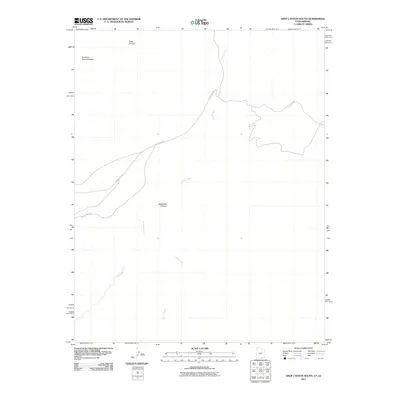
2011 Map of Deep Canyon South
USGS Topo · Published 2011About this map
Hawkeye Natural Bridge stands as a prominent landmark in this desert landscape, located northwest of the winding Piute Creek. The terrain is defined by deep incisions in the plateau, most notably Deep Canyon and the branching drainage of Jackrabbit Canyon and Jackrabbit Fork. This 2011 survey reflects the enduring isolation of the region, where infrastructure is limited to primitive routes like Piute Creek Rd and County Rd 434. The map provides a detailed view of the natural watercourses and topographic features of this corner of Navajo County, documenting the drainage patterns into the canyon system.
Find a feature on this map
7 named features on this map. Tap any name to fly to it.
Don’t see what you’re looking for? This feature index may not catch every label — zoom into the map to look around manually.
Map Details
Editions of this 2011 Deep Canyon South Map
This is the sole edition of this map. No revisions or reprints were ever made.
Other maps of this area

1883 · Marsh Pass
USGS Topo · 1:250,000

1886 · Henry Mountains
USGS Topo · 1:250,000

1892 · Marsh Pass
USGS Topo · 1:250,000

1892 · Henry Mountains
USGS Topo · 1:250,000

1952 · Shato Spring 1 NE
USGS Topo · 1:24,000

1952 · Navajo Mtn. 4 SE
USGS Topo · 1:24,000

1952 · Navajo Mountain 4 NE
USGS Topo · 1:24,000

1953 · Navajo Mountain 4 NW
USGS Topo · 1:24,000

1953 · Navajo Mountain 4 SW
USGS Topo · 1:24,000

1953 · Navajo Mountain
USGS Topo · 1:62,500