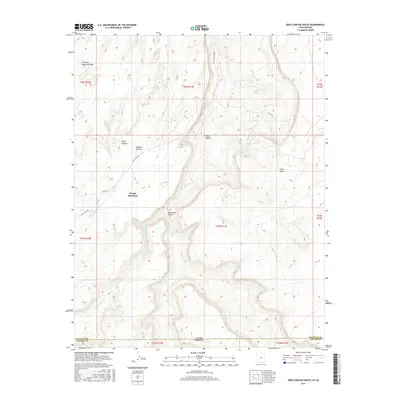
2017 Map of Deep Canyon South
USGS Topo · Published 2017About this map
Navajo Mountain dominates the southwestern portion of this high-desert survey, rising above a complex network of deeply incised drainage systems. The landscape is defined by the massive Rainbow Plateau and the sheer verticality of Piute Canyon, through which Piute Cr flows toward the state line. This 2017 edition documents a remote corner of the Navajo Nation where natural landmarks serve as the primary navigational anchors. Key geological features include the Hawkeye Natural Bridge and the broad expanse of Piute Mesa. Human infrastructure is sparse, limited to rugged routes like Piute Canyon Road and Co RD 434, which wind between significant topographical obstacles such as Jackrabbit Canyon and Deep Canyon. The boundary between San Juan Co and Navajo Co is clearly demarcated where the terrain meets the Utah and Arizona border.
Find a feature on this map
22 named features on this map. Tap any name to fly to it.
Don’t see what you’re looking for? This feature index may not catch every label — zoom into the map to look around manually.
Map Details
Editions of this 2017 Deep Canyon South Map
This is the sole edition of this map. No revisions or reprints were ever made.
Other maps of this area

1883 · Marsh Pass
USGS Topo · 1:250,000

1886 · Henry Mountains
USGS Topo · 1:250,000

1892 · Marsh Pass
USGS Topo · 1:250,000

1892 · Henry Mountains
USGS Topo · 1:250,000

1952 · Shato Spring 1 NE
USGS Topo · 1:24,000

1952 · Navajo Mtn. 4 SE
USGS Topo · 1:24,000

1952 · Navajo Mountain 4 NE
USGS Topo · 1:24,000

1953 · Navajo Mountain 4 NW
USGS Topo · 1:24,000

1953 · Navajo Mountain 4 SW
USGS Topo · 1:24,000

1953 · Navajo Mountain
USGS Topo · 1:62,500