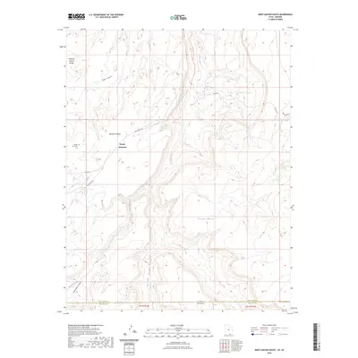
2023 Map of Deep Canyon South
USGS Topo · Published 2023About this map
Navajo Mountain dominates the northwestern portion of this 2023 survey along the Utah-Arizona border. The settlement is centered near the Navajo Mountain Cem, situated at the intersection of several local routes such as Piute Creek Rd and Co RD 434. This high-desert landscape is defined by massive formations like Piute Mesa and the Rainbow Plateau, which are deeply incised by drainages including Deep Canyon and Piute Canyon.
Find a feature on this map
17 named features on this map. Tap any name to fly to it.
Don’t see what you’re looking for? This feature index may not catch every label — zoom into the map to look around manually.
Map Details
Editions of this 2023 Deep Canyon South Map
This is the sole edition of this map. No revisions or reprints were ever made.
Other maps of this area

1883 · Marsh Pass
USGS Topo · 1:250,000

1886 · Henry Mountains
USGS Topo · 1:250,000

1892 · Marsh Pass
USGS Topo · 1:250,000

1892 · Henry Mountains
USGS Topo · 1:250,000

1952 · Shato Spring 1 NE
USGS Topo · 1:24,000

1952 · Navajo Mtn. 4 SE
USGS Topo · 1:24,000

1952 · Navajo Mountain 4 NE
USGS Topo · 1:24,000

1953 · Navajo Mountain 4 NW
USGS Topo · 1:24,000

1953 · Navajo Mountain 4 SW
USGS Topo · 1:24,000

1953 · Navajo Mountain
USGS Topo · 1:62,500