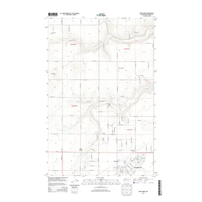
2014 Map of Deep Creek
USGS Topo · Published 2014About this map
Fairchild AFB dominates the southeastern quadrant of this West Plains landscape, reflecting its long-standing role in the region's defense infrastructure. The installation neighbors the small settlements of Fairchild and Galena, which sit adjacent to the extensive runway systems and military housing. To the north, the land transitions into the open agricultural expanses of Indian Prairie, a terrain marked by the seasonal drainage of Coulee Cr and Deep Cr.
Find a feature on this map
92 named features on this map. Tap any name to fly to it.
Don’t see what you’re looking for? This feature index may not catch every label — zoom into the map to look around manually.
Map Details
Editions of this 2014 Deep Creek Map
This is the sole edition of this map. No revisions or reprints were ever made.
Other maps of this area

1943 · Medical Lake
USGS Topo · 1:62,500

1944 · Clayton
USGS Topo · 1:62,500

1944 · Wellpinit
USGS Topo · 1:62,500

1945 · Reardan
USGS Topo · 1:62,500

1950 · Clayton
USGS Topo · 1:62,500

1953 · Reardan
USGS Topo · 1:62,500

1953 · Wellpinit
USGS Topo · 1:62,500

1954 · Airway Heights
USGS Topo · 1:24,000

1954 · Medical Lake
USGS Topo · 1:24,000

1954 · Medical Lake
USGS Topo · 1:62,500