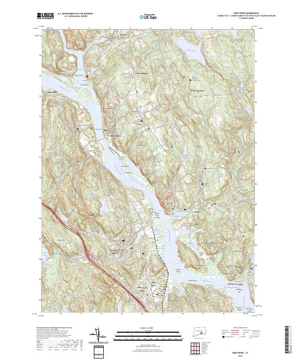
2024 Map of Deep River
USGS Topo · Published 2024About this map
Connecticut River navigation and riverside heritage define this map of the lower Connecticut River Valley. The terrain is marked by significant wetlands and conservation areas, notably the Silvio O Conte National Fish and Wildlife Refuge, which brackets the river corridor from Haddam Neck down to Brockway. The settlement pattern reflects the area's maritime and industrial roots, with town centers like Deep River Center, Chester Center, and East Haddam positioned along the water and the tracks of the Valley Railroad.
Find a feature on this map
195 named features on this map. Tap any name to fly to it.
Don’t see what you’re looking for? This feature index may not catch every label — zoom into the map to look around manually.
Map Details
Editions of this 2024 Deep River Map
This is the sole edition of this map. No revisions or reprints were ever made.
Other maps of this area

1892 · Gilead
USGS Topo · 1:62,500

1893 · Guilford
USGS Topo · 1:62,500

1893 · Middletown
USGS Topo · 1:62,500

1893 · Saybrook
USGS Topo · 1:62,500

1906 · Farmington
USGS Topo · 1:125,000

1941 · Lyme
USGS Topo · 1:31,680

1944 · Essex
USGS Topo · 1:31,680

1944 · Deep River
USGS Topo · 1:31,680

1945 · Middle Haddam
USGS Topo · 1:31,680
1945 · Colchester
USGS Topo · 1:31,680