
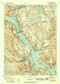
1944 Map of Essex
USGS Topo · Published 1944About this map
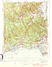
The Connecticut River meets the tide of the Long Island Sound along this shoreline surveyed just before World War II. The landscape is defined by the convergence of coastal commerce and interior industry, with the New York New Haven and Hartford Railroad cutting a path through Westbrook and Old Saybrook. To the north, the industrial character of Ivoryton and Centerbrook is evident, situated near the Falls River and its associated mill ponds like Chalkers Mill Pond. The interior is dotted with family-named landmarks such as Mares Hill and Bushy Hill, alongside social centers like the Winthrop Country Club and the Social Hall. This map captures a moment when the coastal villages were established summer destinations, evidenced by the numerous beaches like Grove Beach and Great Hammock Beach, while maintaining their roots as transportation hubs centered around Saybrook Station.
Find a feature on this map
70 named features on this map. Tap any name to fly to it.
Don’t see what you’re looking for? This feature index may not catch every label — zoom into the map to look around manually.
Map Details
Editions of this 1944 Essex Map
3 editions found
Other maps of this area

1893 · Guilford
USGS Topo · 1:62,500

1893 · Saybrook
USGS Topo · 1:62,500

1941 · Lyme
USGS Topo · 1:31,680

1944 · Deep River
USGS Topo · 1:31,680
1947 · Orient
USGS Topo · 1:24,000

1947 · Hartford
USGS Topo · 1:250,000

1948 · Hartford
USGS Topo · 1:250,000
1951 · Lyme
USGS Topo · 1:31,680

1951 · Clinton
USGS Topo · 1:31,680
1952 · Deep River
USGS Topo · 1:31,680