
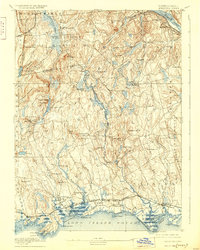
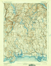
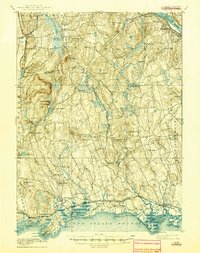
1893 Map of Guilford
USGS Topo · Published 1893About this map
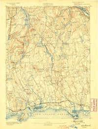
Guilford and the adjacent shoreline communities are captured in this late nineteenth-century survey, revealing a landscape defined by its proximity to Long Island Sound and the expansion of the regional rail network. The Shore Line Division connects coastal stops like Sachems Head Station and Guilford Station, while the Air Line Div cuts through the northern interior past Reed Gap.
Find a feature on this map
92 named features on this map. Tap any name to fly to it.
Don’t see what you’re looking for? This feature index may not catch every label — zoom into the map to look around manually.
Map Details
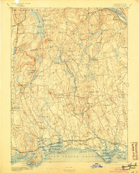
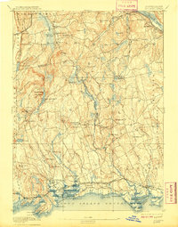
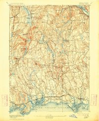
Editions of this 1893 Guilford Map
8 editions found
Other maps of this area

1892 · New Haven
USGS Topo · 1:62,500

1892 · Meriden
USGS Topo · 1:62,500

1892 · Gilead
USGS Topo · 1:62,500

1893 · Middletown
USGS Topo · 1:62,500

1893 · Meriden
USGS Topo · 1:62,500

1893 · Saybrook
USGS Topo · 1:62,500

1906 · Farmington
USGS Topo · 1:125,000

1921 · New Haven
USGS Topo · 1:62,500

1928 · Cromwell
USGS Topo · 1:24,000

1943 · Durham
USGS Topo · 1:25,000