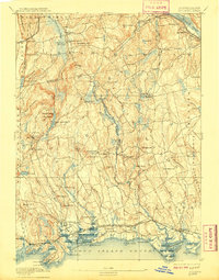
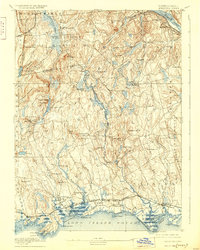
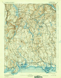
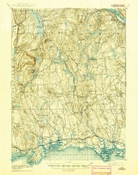
1893 Map of Guilford
USGS Topo · Published 1909About this map
The Shore Line Division of the New York, New Haven and Hartford Railroad serves as the primary coastal artery on this late 19th-century survey, connecting shoreline communities like Guilford, Madison, and Clinton. The landscape transitions from the jagged shoreline of Long Island Sound, punctuated by Sachem Head Harbor and Guilford Harbor, to the inland highlands where peaks like Totoket Mountain and Quonnipaug Mountain dominate the terrain.
Find a feature on this map
103 named features on this map. Tap any name to fly to it.
Don’t see what you’re looking for? This feature index may not catch every label — zoom into the map to look around manually.
Map Details
Editions of this 1893 Guilford Map
8 editions found
Other maps of this area

1892 · New Haven
USGS Topo · 1:62,500

1892 · Meriden
USGS Topo · 1:62,500

1892 · Gilead
USGS Topo · 1:62,500

1893 · Guilford
USGS Topo · 1:62,500

1893 · Middletown
USGS Topo · 1:62,500

1893 · Meriden
USGS Topo · 1:62,500

1893 · Saybrook
USGS Topo · 1:62,500

1906 · Farmington
USGS Topo · 1:125,000

1921 · New Haven
USGS Topo · 1:62,500

1928 · Cromwell
USGS Topo · 1:24,000