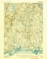
1893 Map of Guilford
USGS Topo · Published 1944About this map
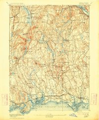
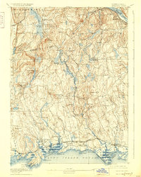
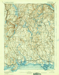
The coastal landscapes and interior hills of Middlesex and New Haven counties are captured here in an era when the Shore Line Division was the primary corridor of movement. This survey highlights the complex topography of the region, from the ridges of Pistapaug Mountain and Totoket Mountain to the salt marshes of Durham Meadows. Along the shoreline of the Long Island Sound, distinct maritime communities such as Guilford, Madison, and Clinton are well-defined, showing their early rail connections at Guilford Station and Sachem Head Station.
Find a feature on this map
97 named features on this map. Tap any name to fly to it.
Don’t see what you’re looking for? This feature index may not catch every label — zoom into the map to look around manually.
Map Details
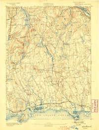
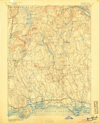
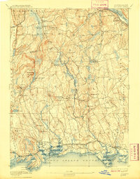
Editions of this 1893 Guilford Map
8 editions found
Other maps of this area

1892 · New Haven
USGS Topo · 1:62,500

1892 · Meriden
USGS Topo · 1:62,500

1892 · Gilead
USGS Topo · 1:62,500

1893 · Guilford
USGS Topo · 1:62,500

1893 · Middletown
USGS Topo · 1:62,500

1893 · Meriden
USGS Topo · 1:62,500

1893 · Saybrook
USGS Topo · 1:62,500

1906 · Farmington
USGS Topo · 1:125,000

1921 · New Haven
USGS Topo · 1:62,500

1928 · Cromwell
USGS Topo · 1:24,000