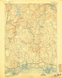
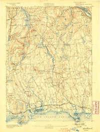
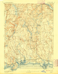
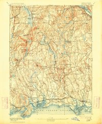
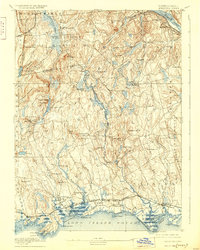
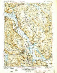
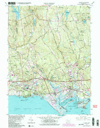
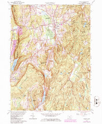
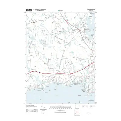
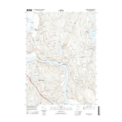
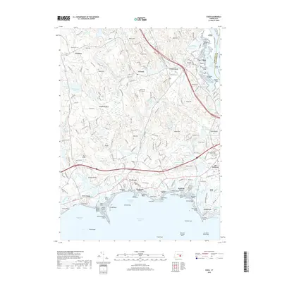
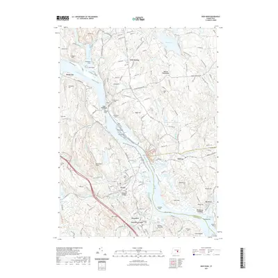
1893 Map of Guilford
USGS Topo · Published 1904About this map
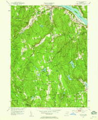
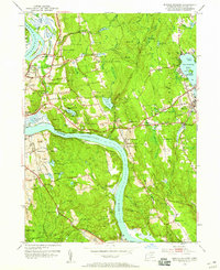
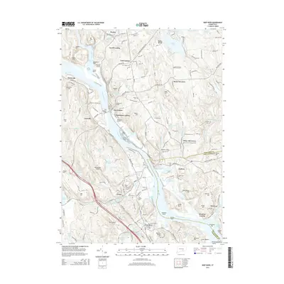
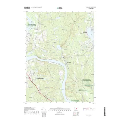
Guilford and the adjacent shoreline communities of Madison and Clinton anchor the southern edge of this late 19th-century survey. The landscape transitions from the coastal harbors of Long Island Sound to the interior ridges of Totoket Mountain and Beseck Mountain. Transportation is defined by the Shore Line Division and the Air Line Div. railroads, which carved routes through the coastal lowlands and inland gaps like Reed Gap.
Find a feature on this map
100 named features on this map. Tap any name to fly to it.
Don’t see what you’re looking for? This feature index may not catch every label — zoom into the map to look around manually.
Map Details
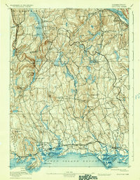
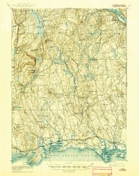
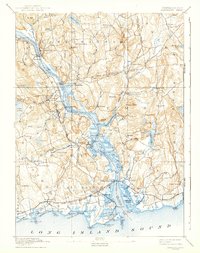
Editions of this 1893 Guilford Map
8 editions found

Historical Maps of Meriden Through Time
49 maps found
1893 Guilford
Middlesex County, CT
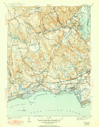
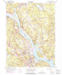
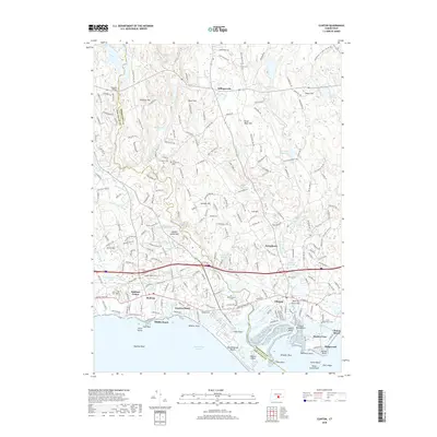
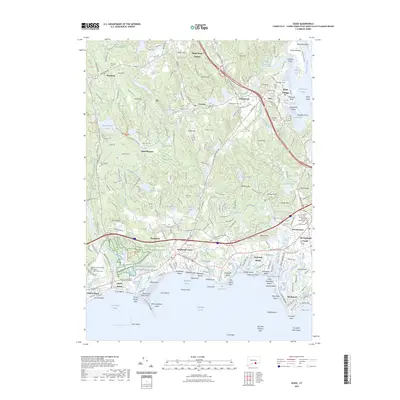
1893 Saybrook
Middlesex County, CT

1928 Cromwell
Middlesex County, CT

1943 Durham
Middlesex County, CT
1944 Deep River
Middlesex County, CT
1944 Essex
Middlesex County, CT

1945 Middle Haddam
Middlesex County, CT
1951 Clinton
Middlesex County, CT
1952 Deep River
Middlesex County, CT
1952 Haddam
Middlesex County, CT
1952 Middle Haddam
Middlesex County, CT
1953 Durham
Middlesex County, CT
1958 Essex
Middlesex County, CT
1961 Clinton
Middlesex County, CT
1961 Deep River
Middlesex County, CT
1961 Haddam
Middlesex County, CT
1961 Middle Haddam
Middlesex County, CT
1964 Durham
Middlesex County, CT
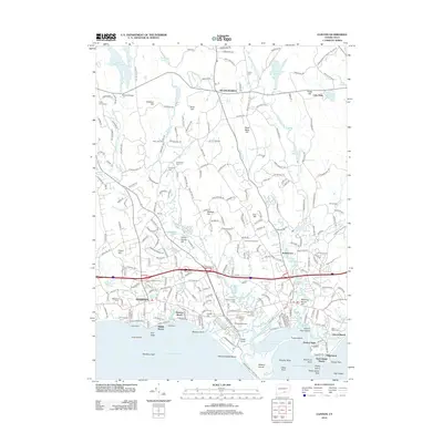
2012 Clinton
Middlesex County, CT
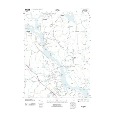
2012 Deep River
Middlesex County, CT
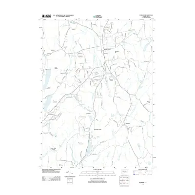
2012 Durham
Middlesex County, CT
2012 Essex
Middlesex County, CT
2012 Haddam
Middlesex County, CT
2012 Middle Haddam
Middlesex County, CT
2015 Clinton
Middlesex County, CT
2015 Deep River
Middlesex County, CT
2015 Durham
Middlesex County, CT
2015 Essex
Middlesex County, CT
2015 Haddam
Middlesex County, CT
2015 Middle Haddam
Middlesex County, CT
2018 Clinton
Middlesex County, CT
2018 Deep River
Middlesex County, CT
2018 Durham
Middlesex County, CT
2018 Essex
Middlesex County, CT
2018 Haddam
Middlesex County, CT
2018 Middle Haddam
Middlesex County, CT
2021 Clinton
Middlesex County, CT
2021 Deep River
Middlesex County, CT
2021 Durham
Middlesex County, CT
2021 Essex
Middlesex County, CT
2021 Haddam
Middlesex County, CT
2021 Middle Haddam
Middlesex County, CT
2023 Essex
Middlesex County, CT
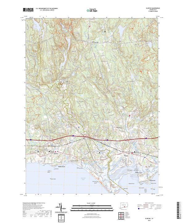
2024 Clinton
Middlesex County, CT
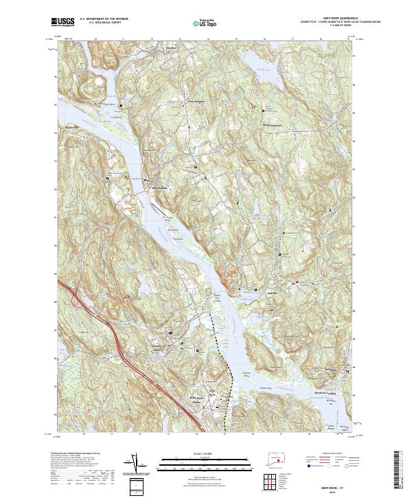
2024 Deep River
Middlesex County, CT
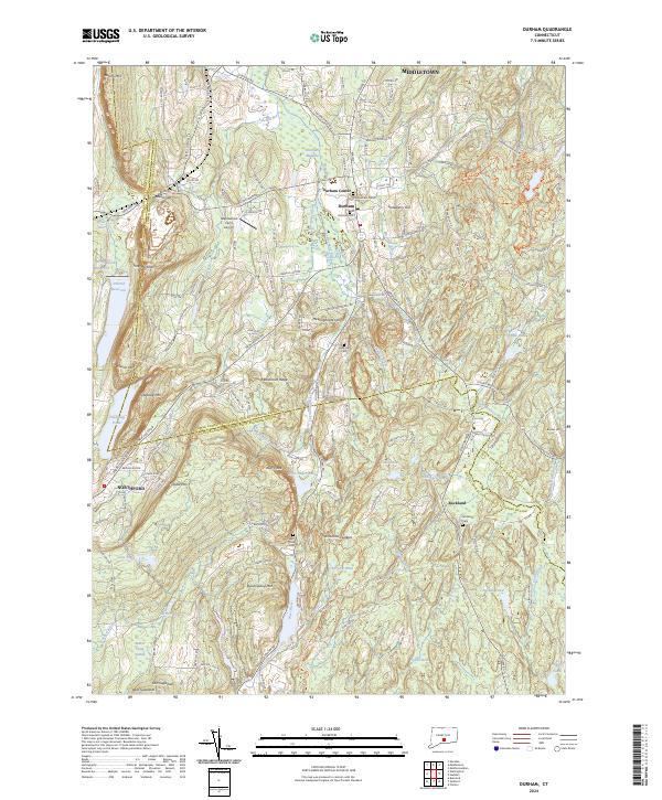
2024 Durham
Middlesex County, CT
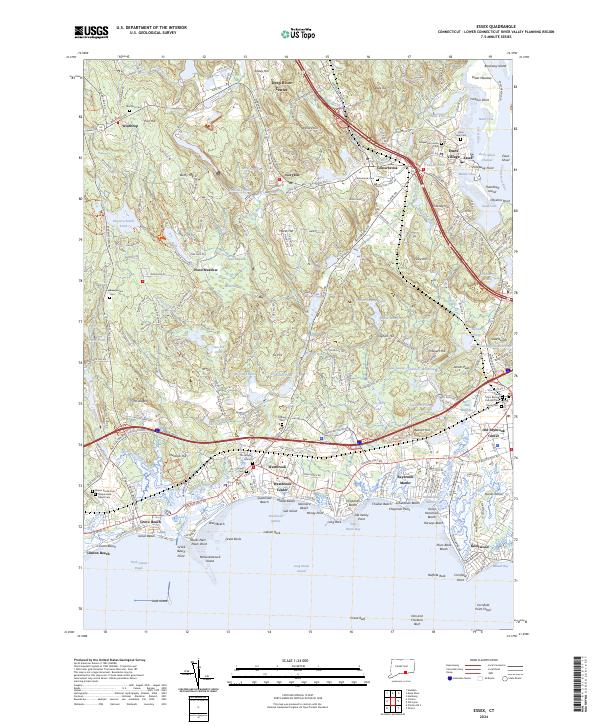
2024 Essex
Middlesex County, CT
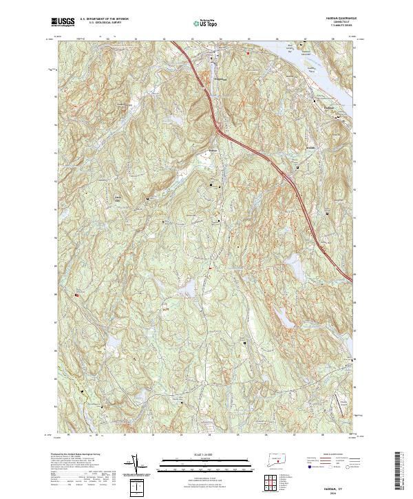
2024 Haddam
Middlesex County, CT
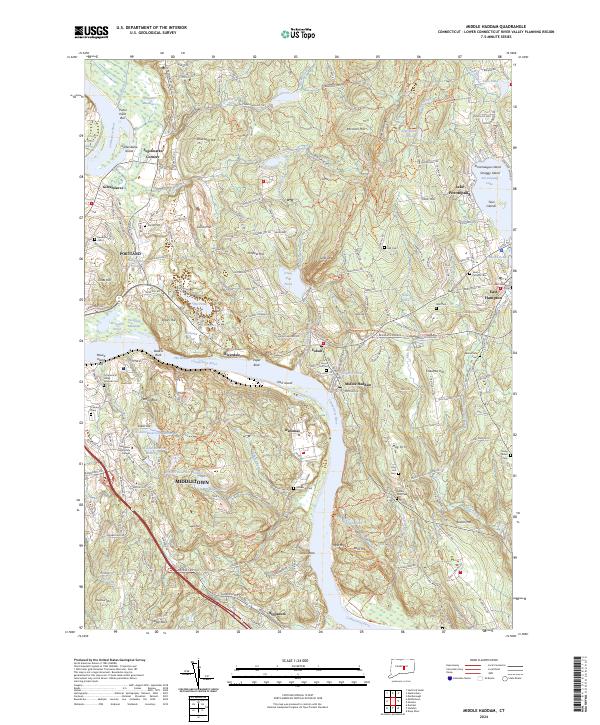
2024 Middle Haddam
Middlesex County, CT