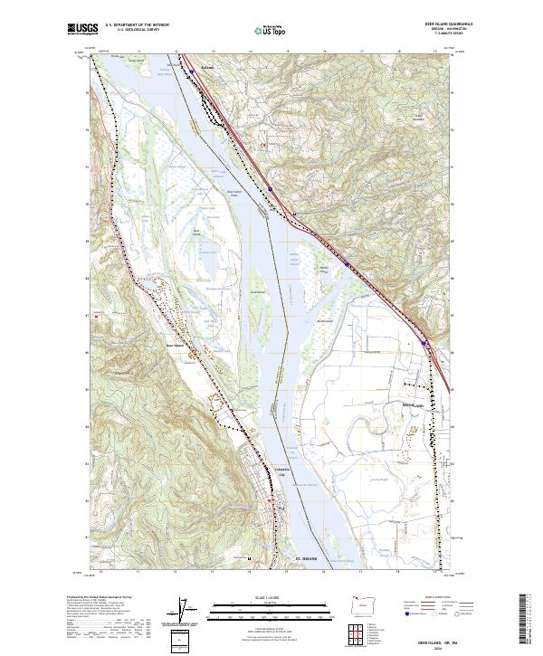
2024 Map of Deer Island
USGS Topo · Published 2024About this map
Deer Island dominates this stretch of the Columbia River, defining a complex network of wetlands and seasonal lakes such as Cottonwood Lake and Thorn Lake. The landscape transition from the low-lying river islands to the heights of Maple Hill and Green Mountain illustrates the industrial and residential settlement patterns along the waterway. On the Washington side, the Burlington Northern Santa Fe RR follows the shoreline through Kalama and Martin Bluff, tracing the vital transportation corridor between St. Helens and Woodland. Genealogical value is found in the scattered rural burial grounds, including Martins Bluff Cem, Kinder Cem, and Masonic Cem, which mark the historical footprint of early families in Columbia County. The intricate sloughs, such as Benham Slough and Goerig Slough, reveal the hydrological character of the river valley before modern infrastructure altered its course.
Find a feature on this map
130 named features on this map. Tap any name to fly to it.
Don’t see what you’re looking for? This feature index may not catch every label — zoom into the map to look around manually.
Map Details
Editions of this 2024 Deer Island Map
This is the sole edition of this map. No revisions or reprints were ever made.
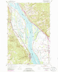
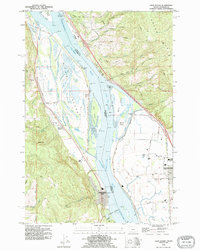
Historical Maps of Kalama Through Time
3 maps found