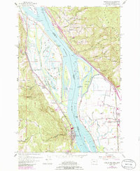
1954 Map of Deer Island
USGS Topo · Published 1985About this map
Deer Island and its complex network of sloughs and lakes dominate this reach of the Columbia River along the border of Oregon and Washington. The landscape is defined by the tension between the river's natural hydrology and industrial development, featuring numerous named water bodies like Swan Lake, Cottonwood Lake, and Resting Lake set against the Burlington Northern railroad corridor. On the Oregon side, settlements such as Columbia City and Waterview sit near the base of Maple Hill, while the County Fairgrounds suggests a regional hub of activity. Across the channel, the Washington shoreline near Woodland is marked by the Union Pacific line and the Old Pacific Highway. Notable landmarks such as Cloverdale Sch and the Caples Landing (Site) provide specific points of interest for local historians tracking the evolution of riverfront landings and rural education.
Find a feature on this map
69 named features on this map. Tap any name to fly to it.
Don’t see what you’re looking for? This feature index may not catch every label — zoom into the map to look around manually.
Map Details
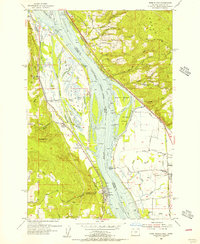
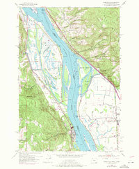
Editions of this 1954 Deer Island Map
3 editions found
Other maps of this area

1921 · Kalama
USGS Topo · 1:62,500

1922 · St. Helens
USGS Topo · 1:62,500

1940 · La Center
USGS Topo · 1:62,500

1941 · St Helens
USGS Topo · 1:62,500

1943 · Pigeon Springs
USGS Topo · 1:62,500

1943 · St Helens
USGS Topo · 1:62,500

1948 · Vancouver
USGS Topo · 1:250,000

1950 · Vancouver
USGS Topo · 1:250,000

1950 · Vancouver
USGS Topo · 1:250,000

1953 · Hoquiam
USGS Topo · 1:250,000