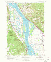
1954 Map of Deer Island
USGS Topo · Published 1971About this map
Columbia River commerce and industrial transport define this reach along the Oregon and Washington border. The river valley is a complex network of waterways, featuring the massive Deer Island and its interior lakes like Swan Lake and Cottonwood Lake. Settlement is concentrated at Columbia City on the Oregon bank and Woodland to the east in Washington, connected by the heavy rail corridors of the Burlington Northern and Union Pacific railroads.
Find a feature on this map
67 named features on this map. Tap any name to fly to it.
Don’t see what you’re looking for? This feature index may not catch every label — zoom into the map to look around manually.
Map Details
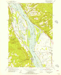
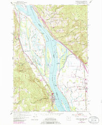
Editions of this 1954 Deer Island Map
3 editions found
Other maps of this area

1921 · Kalama
USGS Topo · 1:62,500

1922 · St. Helens
USGS Topo · 1:62,500

1940 · La Center
USGS Topo · 1:62,500

1941 · St Helens
USGS Topo · 1:62,500

1943 · Pigeon Springs
USGS Topo · 1:62,500

1943 · St Helens
USGS Topo · 1:62,500

1948 · Vancouver
USGS Topo · 1:250,000

1950 · Vancouver
USGS Topo · 1:250,000

1950 · Vancouver
USGS Topo · 1:250,000

1953 · Hoquiam
USGS Topo · 1:250,000