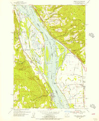
1954 Map of Deer Island
USGS Topo · Published 1956About this map
Deer Island and its intricate network of lakes and sloughs dominate the Columbia River corridor in this mid-century topographic record. The landscape is defined by the tension between the river’s natural hydrology and human industry, seen in the numerous levees protecting low-lying tracts like Muckle Lake and Thorn Lake. Significant transport infrastructure is evident, with the Great Northern Pacific and Seattle RR and Union Pacific RR hugging the banks, facilitating movement between settlements such as Columbia City and Woodland.
Find a feature on this map
77 named features on this map. Tap any name to fly to it.
Don’t see what you’re looking for? This feature index may not catch every label — zoom into the map to look around manually.
Map Details
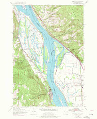
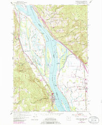
Editions of this 1954 Deer Island Map
3 editions found
Other maps of this area

1921 · Kalama
USGS Topo · 1:62,500

1922 · St. Helens
USGS Topo · 1:62,500

1940 · La Center
USGS Topo · 1:62,500

1941 · St Helens
USGS Topo · 1:62,500

1943 · Pigeon Springs
USGS Topo · 1:62,500

1943 · St Helens
USGS Topo · 1:62,500

1948 · Vancouver
USGS Topo · 1:250,000

1950 · Vancouver
USGS Topo · 1:250,000

1950 · Vancouver
USGS Topo · 1:250,000

1953 · Hoquiam
USGS Topo · 1:250,000