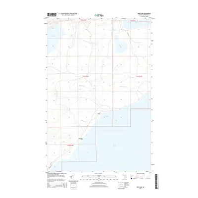
2014 Map of Deer Lake
USGS Topo · Published 2014About this map
The settlement of Betsy sits along the northern shore of the Keweenaw Peninsula, where the Big Betsy River and Little Betsy River drain into the cold waters of Lake Superior. This coastal landscape is defined by its hydrology, anchored by the large Lake Gratiot to the west and the smaller Deer Lake to the northeast. Near the southern edge of the survey, Winters Cr flows toward the coast at Black Rock Point, a distinctive geological feature marking the entrance to Betsy Bay. The network of secondary roads, including Gay Rd and Lac La Belle Rd, connects these isolated points of habitation to the larger timber and mining regions of the peninsula. The map reveals the intricate drainage patterns that have shaped the development of this northern Michigan coastline, providing a clear record of the area's shoreline and inland water bodies.
Find a feature on this map
19 named features on this map. Tap any name to fly to it.
Don’t see what you’re looking for? This feature index may not catch every label — zoom into the map to look around manually.
Map Details
Editions of this 2014 Deer Lake Map
This is the sole edition of this map. No revisions or reprints were ever made.
Other maps of this area

1927 · Point Isabelle
USGS Topo · 1:31,680

1938 · Bruneau Creek
USGS Topo · 1:31,680

1938 · Gay
USGS Topo · 1:31,680

1938 · Delaware
USGS Topo · 1:31,680

1939 · Deer Lake
USGS Topo · 1:31,680

1939 · Delaware
USGS Topo · 1:31,680

1940 · Deer Lake
USGS Topo · 1:31,680

1940 · Central
USGS Topo · 1:31,680

1940 · Lake Medora
USGS Topo · 1:31,680

1946 · Bruneau Creek
USGS Topo · 1:24,000