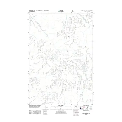
2011 Map of Deer Mountain
USGS Topo · Published 2011About this map
Sleeping Child Hot Springs sits at the northeastern corner of this drainage basin, where the water of Sleeping Child Creek carves through the Bitterroot National Forest. The landscape is defined by a network of gulches and ridges, including Rodgers Gulch, Lairdon Gulch, and the prominent Blacktail Point. Further south, the terrain rises toward Deer Mountain, overlooking the headwaters of the North Fork Rye Creek.
Find a feature on this map
30 named features on this map. Tap any name to fly to it.
Don’t see what you’re looking for? This feature index may not catch every label — zoom into the map to look around manually.
Map Details
Editions of this 2011 Deer Mountain Map
This is the sole edition of this map. No revisions or reprints were ever made.
Other maps of this area

1901 · Hamilton
USGS Topo · 1:125,000

1909 · Sapphire
USGS Topo · 1:125,000

1947 · Butte
USGS Topo · 1:250,000

1955 · Dillon
USGS Topo · 1:250,000

1956 · Elk City
USGS Topo · 1:250,000

1956 · Hamilton
USGS Topo · 1:250,000

1957 · Dillon
USGS Topo · 1:250,000

1958 · Butte
USGS Topo · 1:250,000

1958 · Dillon
USGS Topo · 1:250,000

1959 · Hamilton
USGS Topo · 1:250,000