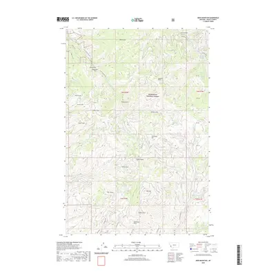
2020 Map of Deer Mountain
USGS Topo · Published 2020About this map
Bitterroot National Forest covers much of this Ravalli County landscape, where the waters of Sleeping Child Creek and its many tributaries carve through the Bitterroot Range. The terrain is defined by its numerous drainages, including Burke Gulch, Dugout Gulch, and Rodgers Gulch, all feeding into the larger riparian network. Near the northern boundary, the presence of Sleeping Child Hot Springs indicates the geothermal activity characteristic of this part of the Rockies.
Find a feature on this map
47 named features on this map. Tap any name to fly to it.
Don’t see what you’re looking for? This feature index may not catch every label — zoom into the map to look around manually.
Map Details
Editions of this 2020 Deer Mountain Map
This is the sole edition of this map. No revisions or reprints were ever made.
Other maps of this area

1901 · Hamilton
USGS Topo · 1:125,000

1909 · Sapphire
USGS Topo · 1:125,000

1947 · Butte
USGS Topo · 1:250,000

1955 · Dillon
USGS Topo · 1:250,000

1956 · Elk City
USGS Topo · 1:250,000

1956 · Hamilton
USGS Topo · 1:250,000

1957 · Dillon
USGS Topo · 1:250,000

1958 · Butte
USGS Topo · 1:250,000

1958 · Dillon
USGS Topo · 1:250,000

1959 · Hamilton
USGS Topo · 1:250,000