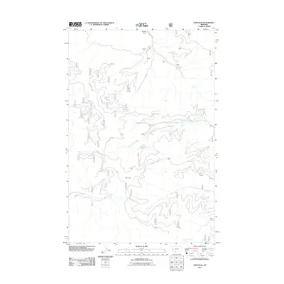
2011 Map of Deer Peak
USGS Topo · Published 2011About this map
Hebert sits at the northern edge of this drainage-rich landscape, where the terrain is defined by a dense network of gulches and creeks. The hydrology is dominated by West Fork Petty Creek, which flows through the center of the area, fed by tributaries like Beaver Slough Creek and Eds Creek. The prominence of Deer Peak and the high ground of Ed's Ridge create a complex topography utilized for access via various Forest Development Roads.
Find a feature on this map
22 named features on this map. Tap any name to fly to it.
Don’t see what you’re looking for? This feature index may not catch every label — zoom into the map to look around manually.
Map Details
Editions of this 2011 Deer Peak Map
This is the sole edition of this map. No revisions or reprints were ever made.
Other maps of this area

1911 · Lolo
USGS Topo · 1:250,000

1912 · Missoula
USGS Topo · 1:125,000

1913 · Lolo
USGS Topo · 1:250,000

1956 · Wallace
USGS Topo · 1:250,000

1956 · Hamilton
USGS Topo · 1:250,000

1959 · Hamilton
USGS Topo · 1:250,000

1959 · Tarkio
USGS Topo · 1:62,500

1959 · Alberton
USGS Topo · 1:62,500

1960 · Wallace
USGS Topo · 1:250,000

1960 · Hamilton
USGS Topo · 1:250,000