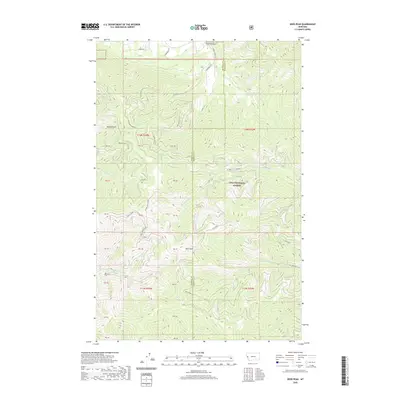
2020 Map of Deer Peak
USGS Topo · Published 2020About this map
Deer Peak stands as the central high point of this terrain along the divide between Mineral and Missoula counties. The landscape is primarily defined by the drainage systems of the Lolo National Forest, where steep gulches and ridges dictate the movement of water and travel. To the north, Sawmill Gulch and Ruben Gulch cut through the timbered slopes, while the southern reaches are marked by the significant rise of Ed's Ridge.
Find a feature on this map
26 named features on this map. Tap any name to fly to it.
Don’t see what you’re looking for? This feature index may not catch every label — zoom into the map to look around manually.
Map Details
Editions of this 2020 Deer Peak Map
This is the sole edition of this map. No revisions or reprints were ever made.
Other maps of this area

1911 · Lolo
USGS Topo · 1:250,000

1912 · Missoula
USGS Topo · 1:125,000

1913 · Lolo
USGS Topo · 1:250,000

1956 · Wallace
USGS Topo · 1:250,000

1956 · Hamilton
USGS Topo · 1:250,000

1959 · Hamilton
USGS Topo · 1:250,000

1959 · Tarkio
USGS Topo · 1:62,500

1959 · Alberton
USGS Topo · 1:62,500

1960 · Wallace
USGS Topo · 1:250,000

1960 · Hamilton
USGS Topo · 1:250,000