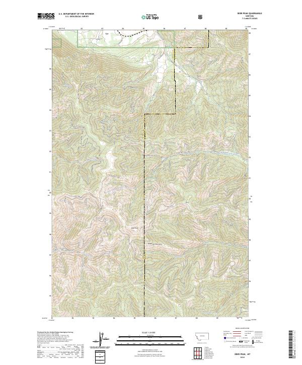
2024 Map of Deer Peak
USGS Topo · Published 2024About this map
The Bitterroot Mountains define the high country of this Montana landscape along the border of Mineral and Missoula counties. Centered on the prominent summit of Deer Peak, the terrain is heavily marked by the drainage networks of the Lolo National Forest, where steep ridgelines like Ed S Ridge drop toward narrow creek valleys. The map shows a landscape primarily shaped by natural topography and Forest Service management, with a clear distinction between the open corridors of Pleasant Valley and the densely contoured alpine reaches.
Find a feature on this map
25 named features on this map. Tap any name to fly to it.
Don’t see what you’re looking for? This feature index may not catch every label — zoom into the map to look around manually.
Map Details
Editions of this 2024 Deer Peak Map
This is the sole edition of this map. No revisions or reprints were ever made.
Other maps of this area

1911 · Lolo
USGS Topo · 1:250,000

1912 · Missoula
USGS Topo · 1:125,000

1913 · Lolo
USGS Topo · 1:250,000

1956 · Wallace
USGS Topo · 1:250,000

1956 · Hamilton
USGS Topo · 1:250,000

1959 · Hamilton
USGS Topo · 1:250,000

1959 · Tarkio
USGS Topo · 1:62,500

1959 · Alberton
USGS Topo · 1:62,500

1960 · Wallace
USGS Topo · 1:250,000

1960 · Hamilton
USGS Topo · 1:250,000