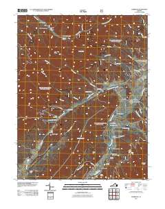
2011 Map of Deerfield
USGS Topo · Published 2011About this map
The Calfpasture River winds through this section of Augusta County, defining the agricultural and residential layout of Deerfield and the surrounding mountain hollows. The settlement pattern follows the valley floor, with small communities like Little Baltimore and Marble Valley situated near the water's edge and the base of Walker Mountain. This landscape is marked by numerous family-named landmarks and geographic features such as Bettys Hill, Fanny Hollow, and Kiser Hollow, which offer specific locations for genealogical research and local history studies.
Find a feature on this map
58 named features on this map. Tap any name to fly to it.
Don’t see what you’re looking for? This feature index may not catch every label — zoom into the map to look around manually.
Map Details
Editions of this 2011 Deerfield Map
This is the sole edition of this map. No revisions or reprints were ever made.
Other maps of this area

1894 · Staunton
USGS Topo · 1:125,000

1901 · Monterey
USGS Topo · 1:125,000

1924 · Mc Dowell
USGS Topo · 1:62,500

1941 · Monterey
USGS Topo · 1:62,500

1943 · Craigsville
USGS Topo · 1:62,500

1944 · Monterey
USGS Topo · 1:62,500

1944 · Mc Dowell
USGS Topo · 1:62,500

1945 · Craigsville
USGS Topo · 1:62,500

1946 · Mc Dowell
USGS Topo · 1:62,500

1946 · Williamsville
USGS Topo · 1:62,500