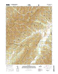
2016 Map of Deerfield
USGS Topo · Published 2016About this map
Shenandoah Mountain and Sideling Hill define the high ridgelines of this section of the George Washington National Forest, where the topography creates a series of steep hollows and narrow drafts. The Calfpasture River winds through the valley floor, collecting drainage from numerous named tributaries like Clayton Mill Cr and Jerkemtight Br. This 2016 survey captures the rural character of Augusta and Highland counties, centered on the community of Deerfield and the smaller settlements of Little Baltimore and Marble Valley. Local history is anchored by landmarks such as Mount Mary Cem near Brushy Ridge, and the distinctively named Tizzle Flats. The presence of Broadway along Deerfield Valley Rd suggests long-standing travel corridors through this complex terrain of the Virginia highlands.
Find a feature on this map
76 named features on this map. Tap any name to fly to it.
Don’t see what you’re looking for? This feature index may not catch every label — zoom into the map to look around manually.
Map Details
Editions of this 2016 Deerfield Map
This is the sole edition of this map. No revisions or reprints were ever made.
Other maps of this area

1894 · Staunton
USGS Topo · 1:125,000

1901 · Monterey
USGS Topo · 1:125,000

1924 · Mc Dowell
USGS Topo · 1:62,500

1941 · Monterey
USGS Topo · 1:62,500

1943 · Craigsville
USGS Topo · 1:62,500

1944 · Monterey
USGS Topo · 1:62,500

1944 · Mc Dowell
USGS Topo · 1:62,500

1945 · Craigsville
USGS Topo · 1:62,500

1946 · Mc Dowell
USGS Topo · 1:62,500

1946 · Williamsville
USGS Topo · 1:62,500