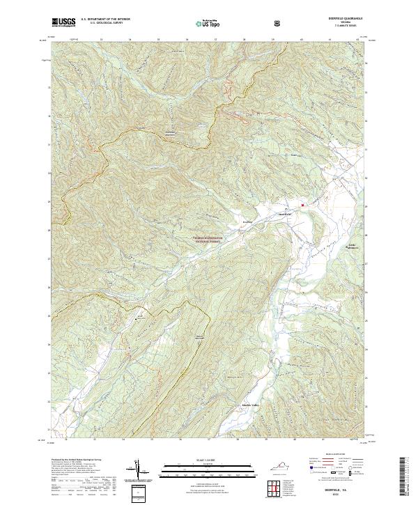
2022 Map of Deerfield
USGS Topo · Published 2022About this map
Deerfield and Little Baltimore sit within the high valleys of the Ridge-and-Valley Appalachians, where the Calfpasture River and its numerous tributaries like Hamilton Br and Staples Run have carved a complex landscape of drafts and hollows. This area of the George Washington National Forest is defined by its topographic extremes, ranging from the heights of Shenandoah Mountain and Walker Mountain down to the bottomlands of Marble Valley.
Find a feature on this map
87 named features on this map. Tap any name to fly to it.
Don’t see what you’re looking for? This feature index may not catch every label — zoom into the map to look around manually.
Map Details
Editions of this 2022 Deerfield Map
This is the sole edition of this map. No revisions or reprints were ever made.
Other maps of this area

1894 · Staunton
USGS Topo · 1:125,000

1901 · Monterey
USGS Topo · 1:125,000

1924 · Mc Dowell
USGS Topo · 1:62,500

1941 · Monterey
USGS Topo · 1:62,500

1943 · Craigsville
USGS Topo · 1:62,500

1944 · Monterey
USGS Topo · 1:62,500

1944 · Mc Dowell
USGS Topo · 1:62,500

1945 · Craigsville
USGS Topo · 1:62,500

1946 · Mc Dowell
USGS Topo · 1:62,500

1946 · Williamsville
USGS Topo · 1:62,500