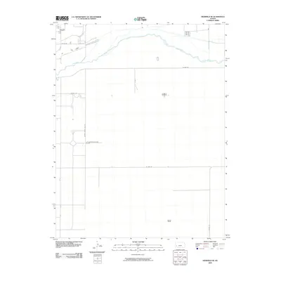
2009 Map of Deerfield NE
USGS Topo · Published 2009About this map
The Arkansas River meanders across the northern section of this Finney County landscape, defining the local geography as it flows through the High Plains. Just north of the river, the Deer Field Cemetery stands as a significant point of interest for genealogists and local historians tracking early settlers in the region. The map reveals a highly structured agricultural grid, where large-scale operations like the Brown Ranch are connected by a network of section line roads such as W River Rd and Kearny County Line Rd. Transportation and commerce are further evidenced by the L C Land Incorporated Airport, located centrally along the county border. The sparse but deliberate placement of buildings suggests a landscape dominated by modern ranching and irrigated farming in the early 21st century.
Find a feature on this map
11 named features on this map. Tap any name to fly to it.
Don’t see what you’re looking for? This feature index may not catch every label — zoom into the map to look around manually.
Map Details
Editions of this 2009 Deerfield NE Map
This is the sole edition of this map. No revisions or reprints were ever made.
Other maps of this area

1891 · Larned
USGS Topo · 1:125,000

1896 · Garden
USGS Topo · 1:125,000

1900 · Lakin
USGS Topo · 1:125,000

1944 · Tennis
USGS Topo · 1:62,500

1955 · Dodge City
USGS Topo · 1:250,000

1955 · Scott City
USGS Topo · 1:250,000

1958 · Dodge City
USGS Topo · 1:250,000

1958 · Scott City
USGS Topo · 1:250,000

1959 · Dodge City
USGS Topo · 1:250,000

1960 · Garden City SW
USGS Topo · 1:24,000