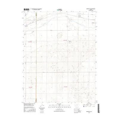
2015 Map of Deerfield NE
USGS Topo · Published 2015About this map
The Arkansas River winds across the northern sections of this Finney County landscape, defining the agricultural and transit corridor between Deerfield and Holcomb. The river valley acts as a central axis for the region's development, with irrigation and land management patterns evident in the surrounding townships of t24s r34w and t24s r35w. The local road network, including the Kearny Co Line Rd and W Crist Rd, illustrates the grid-based settlement typical of the High Plains.
Find a feature on this map
24 named features on this map. Tap any name to fly to it.
Don’t see what you’re looking for? This feature index may not catch every label — zoom into the map to look around manually.
Map Details
Editions of this 2015 Deerfield NE Map
This is the sole edition of this map. No revisions or reprints were ever made.
Other maps of this area

1891 · Larned
USGS Topo · 1:125,000

1896 · Garden
USGS Topo · 1:125,000

1900 · Lakin
USGS Topo · 1:125,000

1944 · Tennis
USGS Topo · 1:62,500

1955 · Dodge City
USGS Topo · 1:250,000

1955 · Scott City
USGS Topo · 1:250,000

1958 · Dodge City
USGS Topo · 1:250,000

1958 · Scott City
USGS Topo · 1:250,000

1959 · Dodge City
USGS Topo · 1:250,000

1960 · Garden City SW
USGS Topo · 1:24,000