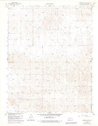
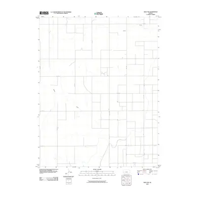
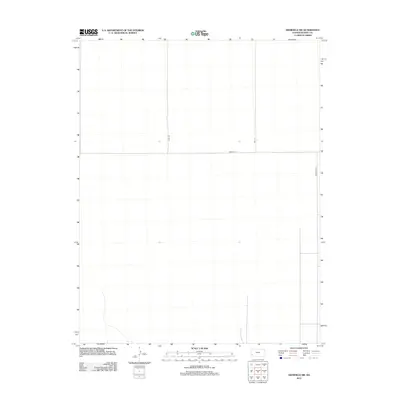
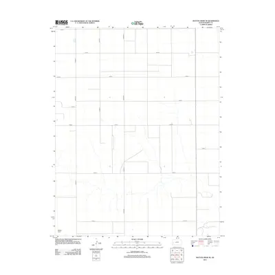
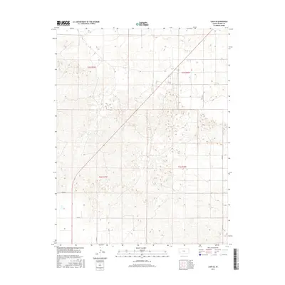
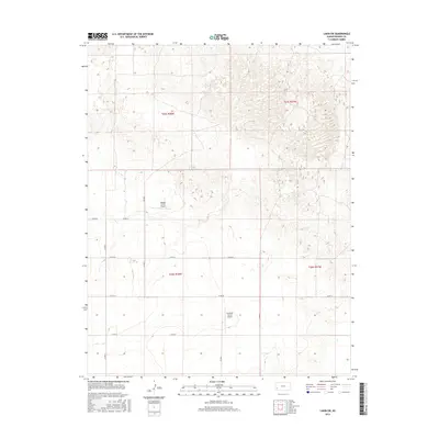
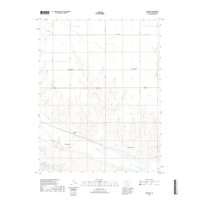
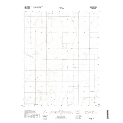
1960 Map of Deerfield SW
USGS Topo · Published 1978About this map
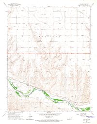
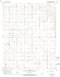
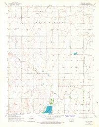
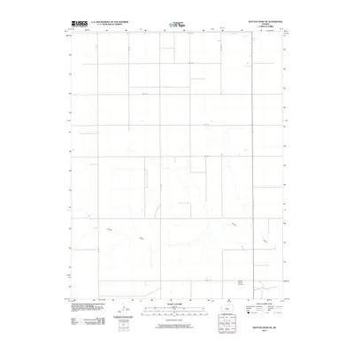
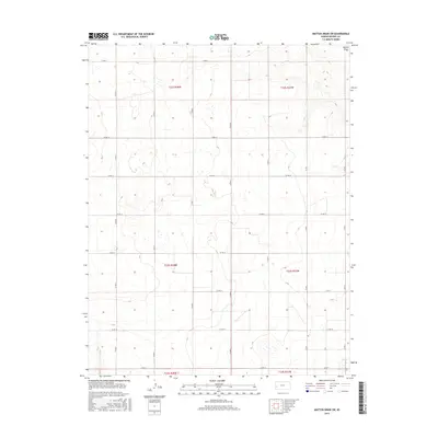
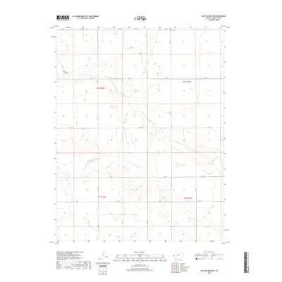
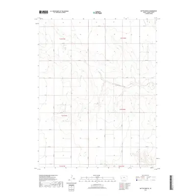
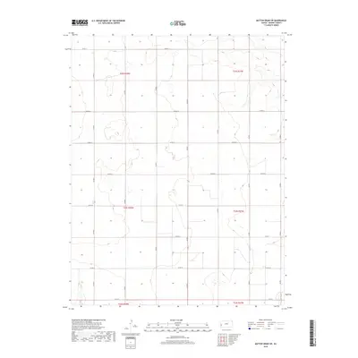
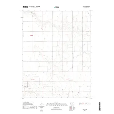
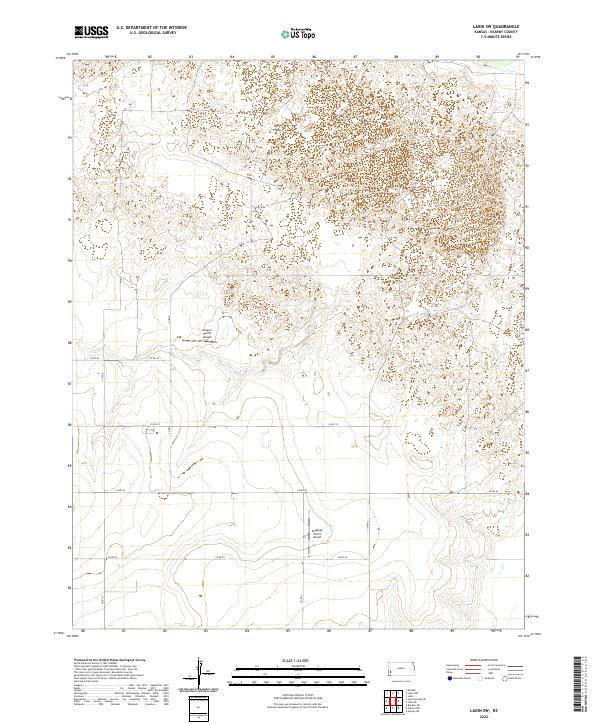
The High Plains of western Kansas are defined here by a widespread network of subterranean energy extraction across the Southside and Kendall townships. This 1960 survey, updated with 1977 aerial data, reveals a landscape dominated by the Hugoton Gas Area’s infrastructure, where dozens of individual Gas Well sites are positioned with mathematical precision across the terrain. The topography is marked by subtle depressions and the absence of established surface water, reflecting the arid environment of Kearny County during this era of intensive mid-century resource development. While largely devoid of residential settlements or town centers, the map documents the intricate grid of access roads and pipelines that transformed the prairie into an industrial corridor.
Find a feature on this map
3 named features on this map. Tap any name to fly to it.
Don’t see what you’re looking for? This feature index may not catch every label — zoom into the map to look around manually.
Map Details
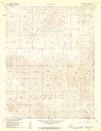
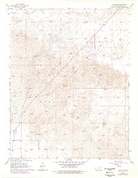
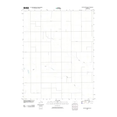
Editions of this 1960 Deerfield SW Map
2 editions found
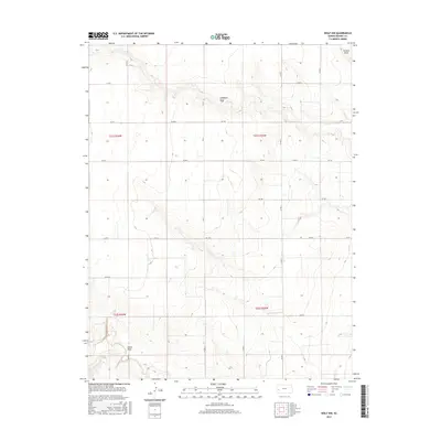
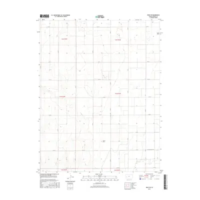
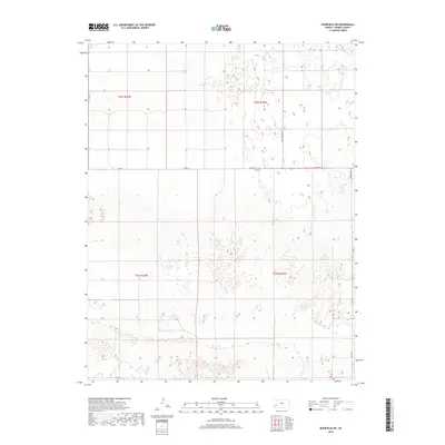
Historical Maps of Kearny County Through Time
61 maps found

1891 Larned
Kearny County, KS
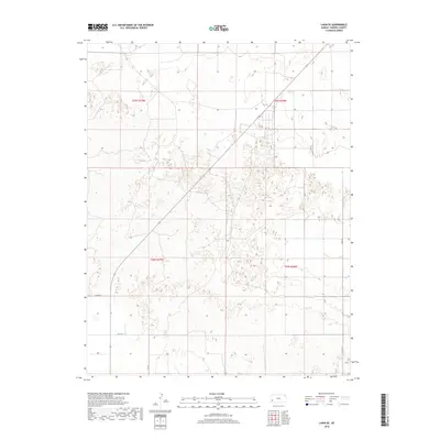
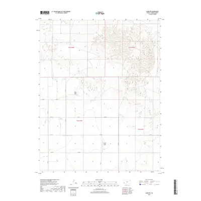
1960 Deerfield SW
Kearny County, KS
1965 Mattox Draw NE
Kearny County, KS
1965 Mattox Draw NW
Kearny County, KS

1965 Wolf NW
Kearny County, KS
1966 Lakin NW
Kearny County, KS
1966 Lakin SE
Kearny County, KS
1966 Lakin SW
Kearny County, KS
1966 Mattox Draw SE
Kearny County, KS
1966 Mattox Draw SW
Kearny County, KS
1966 Wolf SW
Kearny County, KS
2009 Deerfield SW
Kearny County, KS
2009 Wolf NW
Kearny County, KS
2009 Wolf SW
Kearny County, KS
2010 Lakin NW
Kearny County, KS
2010 Lakin SE
Kearny County, KS
2010 Lakin SW
Kearny County, KS
2010 Mattox Draw NE
Kearny County, KS
2010 Mattox Draw NW
Kearny County, KS
2010 Mattox Draw SE
Kearny County, KS
2010 Mattox Draw SW
Kearny County, KS
2012 Deerfield SW
Kearny County, KS
2012 Lakin NW
Kearny County, KS
2012 Lakin SE
Kearny County, KS
2012 Lakin SW
Kearny County, KS
2012 Mattox Draw NE
Kearny County, KS
2012 Mattox Draw NW
Kearny County, KS

2012 Mattox Draw SE
Kearny County, KS
2012 Mattox Draw SW
Kearny County, KS
2012 Wolf NW
Kearny County, KS
2012 Wolf SW
Kearny County, KS
2015 Deerfield SW
Kearny County, KS
2015 Lakin NW
Kearny County, KS
2015 Lakin SE
Kearny County, KS
2015 Lakin SW
Kearny County, KS
2015 Mattox Draw NE
Kearny County, KS
2015 Mattox Draw NW
Kearny County, KS
2015 Mattox Draw SE
Kearny County, KS
2015 Mattox Draw SW
Kearny County, KS
2015 Wolf NW
Kearny County, KS
2015 Wolf SW
Kearny County, KS
2018 Deerfield SW
Kearny County, KS
2018 Lakin NW
Kearny County, KS
2018 Lakin SE
Kearny County, KS
2018 Lakin SW
Kearny County, KS
2018 Mattox Draw NE
Kearny County, KS
2018 Mattox Draw NW
Kearny County, KS
2018 Mattox Draw SE
Kearny County, KS
2018 Mattox Draw SW
Kearny County, KS
2018 Wolf NW
Kearny County, KS
2018 Wolf SW
Kearny County, KS
2022 Deerfield SW
Kearny County, KS
2022 Lakin NW
Kearny County, KS
2022 Lakin SE
Kearny County, KS
2022 Lakin SW
Kearny County, KS
2022 Mattox Draw NE
Kearny County, KS
2022 Mattox Draw NW
Kearny County, KS
2022 Mattox Draw SE
Kearny County, KS
2022 Mattox Draw SW
Kearny County, KS
2022 Wolf NW
Kearny County, KS
2022 Wolf SW
Kearny County, KS