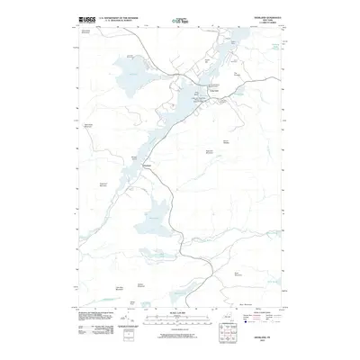
2010 Map of Deerland
USGS Topo · Published 2010About this map
Long Lake and the small settlement of Deerland dominate this topographic study of the central Adirondack Mountains. The landscape is defined by its deep connectivity between water and land, featuring specialized transportation hubs like the Long Lake-Helms Seaplane Base and the Long Lake-Sagamore Marina and Seaplane Base. These facilities, alongside Lake Eaton State Camp and Camp Saint Mary, illustrate the area's long-standing role as a recreational and wilderness retreat.
Find a feature on this map
51 named features on this map. Tap any name to fly to it.
Don’t see what you’re looking for? This feature index may not catch every label — zoom into the map to look around manually.
Map Details
Editions of this 2010 Deerland Map
This is the sole edition of this map. No revisions or reprints were ever made.
Other maps of this area

1903 · Raquette Lake
USGS Topo · 1:62,500

1903 · Blue Mountain
USGS Topo · 1:62,500

1904 · Long Lake
USGS Topo · 1:62,500

1907 · Tupper Lake
USGS Topo · 1:62,500

1948 · Ogdensburg
USGS Topo · 1:250,000

1950 · Utica
USGS Topo · 1:250,000

1951 · Ogdensburg
USGS Topo · 1:250,000

1953 · Ogdensburg
USGS Topo · 1:250,000

1954 · Tupper Lake
USGS Topo · 1:62,500

1954 · Blue Mountain
USGS Topo · 1:62,500