
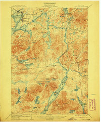
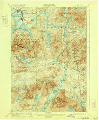
1904 Map of Long Lake
USGS Topo · Published 1904About this map
Tupper Lake and its surrounding mountain wilderness were at a crossroads of industry and recreation at the beginning of the 20th century. The northern portion of the map is defined by the intersection of the N.Y.C. and H.R. R.R. and the New York and Ottawa R.R. at Tupper Lake Junc., serving established settlements like Faust and Brooklyn. This transportation network supported a transition from timber harvesting to Adirondack tourism, evidenced by Rustic Lodge near Coreys P.O. and the private Caughnawanga Club at the edge of the Catlin boundary.
Find a feature on this map
77 named features on this map. Tap any name to fly to it.
Don’t see what you’re looking for? This feature index may not catch every label — zoom into the map to look around manually.
Map Details
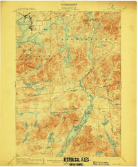
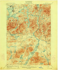
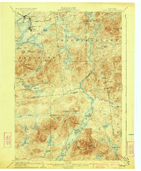
Editions of this 1904 Long Lake Map
10 editions found
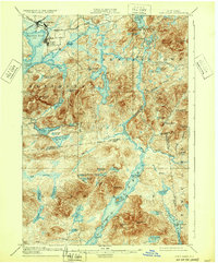
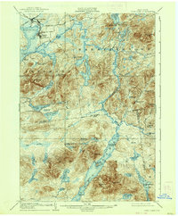
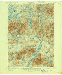

Other maps of this area

1898 · Newcomb
USGS Topo · 1:62,500

1901 · Newcomb
USGS Topo · 1:62,500

1902 · Saranac
USGS Topo · 1:62,500

1903 · Raquette Lake
USGS Topo · 1:62,500

1903 · Blue Mountain
USGS Topo · 1:62,500

1904 · Saranac
USGS Topo · 1:62,500

1904 · Santanoni
USGS Topo · 1:62,500

1905 · Saint Regis
USGS Topo · 1:62,500

1907 · Tupper Lake
USGS Topo · 1:62,500

1920 · Childwold
USGS Topo · 1:62,500