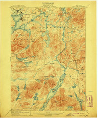
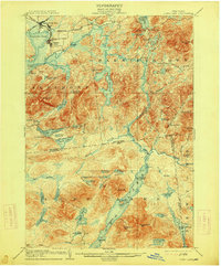
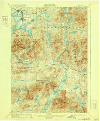
1904 Map of Long Lake
USGS Topo · Published 1908About this map
Tupper Lake and its surrounding wilderness appear here during a transitional era of industrial logging and nascent Adirondack tourism. The northern corner of the map centers on the rail hub of Tupper Lake Junc. and Faust, where the N.Y.C. and H.R. R.R. and New York and Ottawa R.R. converge near the Brooklyn Cooperage Co. lands. This industrial presence contrasts with the remote character of Long Lake to the south, where a charted Steamboat Route connects travelers to points like the Island House and the Canachnawanga Club.
Find a feature on this map
80 named features on this map. Tap any name to fly to it.
Don’t see what you’re looking for? This feature index may not catch every label — zoom into the map to look around manually.
Map Details
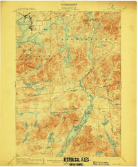
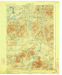
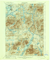
Editions of this 1904 Long Lake Map
10 editions found
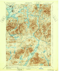
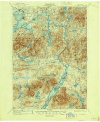

Other maps of this area

1898 · Newcomb
USGS Topo · 1:62,500

1901 · Newcomb
USGS Topo · 1:62,500

1902 · Saranac
USGS Topo · 1:62,500

1903 · Raquette Lake
USGS Topo · 1:62,500

1903 · Blue Mountain
USGS Topo · 1:62,500

1904 · Saranac
USGS Topo · 1:62,500

1904 · Santanoni
USGS Topo · 1:62,500

1904 · Long Lake
USGS Topo · 1:62,500

1905 · Saint Regis
USGS Topo · 1:62,500

1907 · Tupper Lake
USGS Topo · 1:62,500