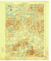
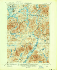
1904 Map of Long Lake
USGS Topo · Published 1923About this map
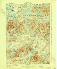
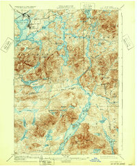
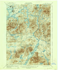
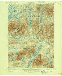
The Raquette River winds through this northern Adirondack landscape, anchoring a network of waterways and early 20th-century outposts. At the junction of the New York and Ottawa R. R. and the N. Y. C. and H. R. R. R., the growing hub of Tupper Lake Junc. and nearby Faust serve as gateways to the wilderness. The map reveals a transition from these industrial rail connections to seasonal retreats like Rustic Lodge, Coreys, and the Caughnawauga Club. Along the southern expanse of the long, narrow lake, a dedicated steamboat route connects travelers to Island House and the Camp Islands. This survey illustrates an era when Adirondack navigation relied heavily on the natural corridors provided by Tupper Lake, Follensby Pond, and the interconnected Moose Ponds, long before modern road networks dominated the region.
Find a feature on this map
73 named features on this map. Tap any name to fly to it.
Don’t see what you’re looking for? This feature index may not catch every label — zoom into the map to look around manually.
Map Details
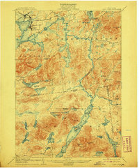
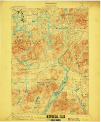
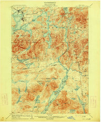
Editions of this 1904 Long Lake Map
10 editions found
Other maps of this area

1898 · Newcomb
USGS Topo · 1:62,500

1901 · Newcomb
USGS Topo · 1:62,500

1902 · Saranac
USGS Topo · 1:62,500

1903 · Raquette Lake
USGS Topo · 1:62,500

1903 · Blue Mountain
USGS Topo · 1:62,500

1904 · Saranac
USGS Topo · 1:62,500

1904 · Santanoni
USGS Topo · 1:62,500

1904 · Long Lake
USGS Topo · 1:62,500

1905 · Saint Regis
USGS Topo · 1:62,500

1907 · Tupper Lake
USGS Topo · 1:62,500