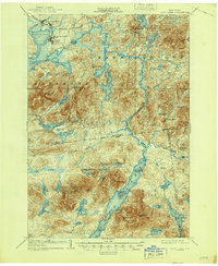
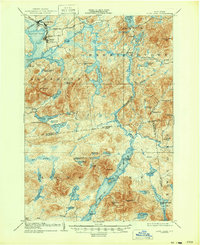
1904 Map of Long Lake
USGS Topo · Published 1944About this map
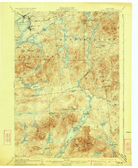
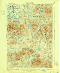
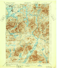
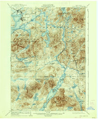
Long Lake and the Raquette River dominate this Adirondack landscape at the turn of the twentieth century, illustrating a region defined by its waterway connectivity and early recreation. The presence of a Steamboat Route spanning the length of Long Lake from Round Pond past Island House highlights the era’s reliance on water for transit before modern road networks were established. In the northern reaches, the industrial and transport hub of Tupper Lake Junc. and Faust shows the intersection of the New York and Ottawa R. R. and the N. Y. C. and H. R. R. R., marking the edge of civilization where timber and tourism met. Private retreats and early Adirondack outposts like the Caughnawauga Club and Litchfield Park are mapped alongside primitive logging sites like Camp No. 1, documenting a landscape transitioning from a raw wilderness to a managed parkland.
Find a feature on this map
76 named features on this map. Tap any name to fly to it.
Don’t see what you’re looking for? This feature index may not catch every label — zoom into the map to look around manually.
Map Details
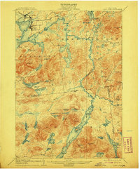
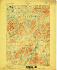
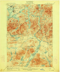
Editions of this 1904 Long Lake Map
10 editions found
Other maps of this area

1898 · Newcomb
USGS Topo · 1:62,500

1901 · Newcomb
USGS Topo · 1:62,500

1902 · Saranac
USGS Topo · 1:62,500

1903 · Raquette Lake
USGS Topo · 1:62,500

1903 · Blue Mountain
USGS Topo · 1:62,500

1904 · Saranac
USGS Topo · 1:62,500

1904 · Santanoni
USGS Topo · 1:62,500

1904 · Long Lake
USGS Topo · 1:62,500

1905 · Saint Regis
USGS Topo · 1:62,500

1907 · Tupper Lake
USGS Topo · 1:62,500