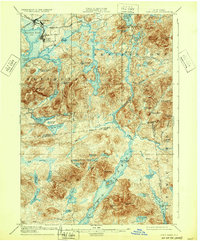
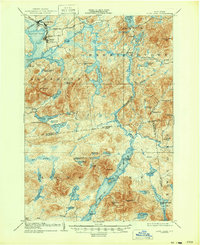
1904 Map of Long Lake
USGS Topo · Published 1932About this map
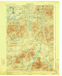
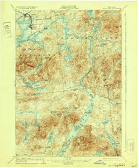
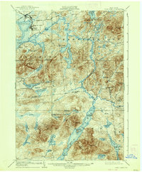
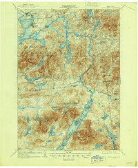
Raquette River meanders through this portion of the Adirondacks, connecting a vast network of water bodies during the early twentieth century. The map illustrates a landscape transitioning from remote wilderness to a seasonal retreat and industrial transport hub, anchored by the development at Tupper Lake. In the north, the convergence of the New York and Ottawa R. R. and the N. Y. C. And H. R. R. R. at Tupper Lake Junc. highlights the importance of rail in reaching these mountain outposts. Local history is etched into the landscape through labels for Rustic Lodge, the Caughnawauga Club, and Island House on Long Lake, which speak to the area's early tourism and private club era. Extensive pond systems, including Follensby Pond and the Hedgehog Ponds, remain largely undeveloped, while names like Litchfields and Moody identify early residential and commercial clusters near the water's edge.
Find a feature on this map
77 named features on this map. Tap any name to fly to it.
Don’t see what you’re looking for? This feature index may not catch every label — zoom into the map to look around manually.
Map Details
Editions of this 1904 Long Lake Map
10 editions found
Other maps of this area

1898 · Newcomb
USGS Topo · 1:62,500

1901 · Newcomb
USGS Topo · 1:62,500

1902 · Saranac
USGS Topo · 1:62,500

1903 · Raquette Lake
USGS Topo · 1:62,500

1903 · Blue Mountain
USGS Topo · 1:62,500

1904 · Saranac
USGS Topo · 1:62,500

1904 · Santanoni
USGS Topo · 1:62,500

1904 · Long Lake
USGS Topo · 1:62,500

1905 · Saint Regis
USGS Topo · 1:62,500

1907 · Tupper Lake
USGS Topo · 1:62,500