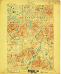
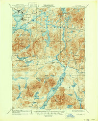
1904 Map of Long Lake
USGS Topo · Published 1911About this map
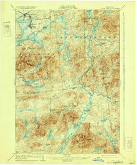
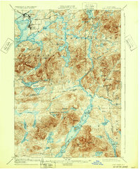
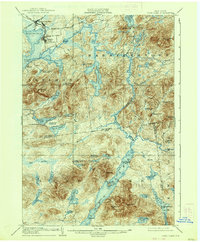
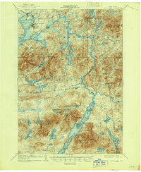
Tupper Lake and its surrounding rail junctions anchor the northwest corner of this Adirondack landscape at a time when timber and early tourism defined the region. The industrial character of Tupper Lake Junc. and the settlement at Faust contrast with the remote sporting camps and private estates scattered deeper in the woods. Extensive logging operations are evidenced by the Cooperage R. R. and the New York and Ottawa R. R., while the Raquette River and a dedicated Steamboat Route on Long Lake provided the primary corridors for transport and leisure. Notable local landmarks like Litchfield's, Rustic Lodge, and the Caughnawauga Club illustrate the era's transition toward seasonal retreats. Significant water bodies including Follensby Pond and Simon Pond fill the interior, surrounded by prominent heights like Mt. Morris and Kempshall Mt., marking a landscape of heavy woods and winding brooks.
Find a feature on this map
83 named features on this map. Tap any name to fly to it.
Don’t see what you’re looking for? This feature index may not catch every label — zoom into the map to look around manually.
Map Details
Editions of this 1904 Long Lake Map
10 editions found
Other maps of this area

1898 · Newcomb
USGS Topo · 1:62,500

1901 · Newcomb
USGS Topo · 1:62,500

1902 · Saranac
USGS Topo · 1:62,500

1903 · Raquette Lake
USGS Topo · 1:62,500

1903 · Blue Mountain
USGS Topo · 1:62,500

1904 · Saranac
USGS Topo · 1:62,500

1904 · Santanoni
USGS Topo · 1:62,500

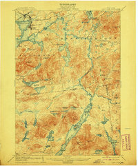
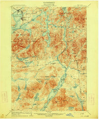
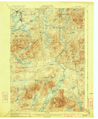
1904 · Long Lake
USGS Topo · 1:62,500

1905 · Saint Regis
USGS Topo · 1:62,500

1907 · Tupper Lake
USGS Topo · 1:62,500