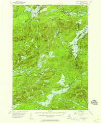
1954 Map of Tupper Lake
USGS Topo · Published 1957About this map
Piercefield and the surrounding timberlands of the Adirondack Park appear here in the mid-1950s, centered on the industrial and transit corridor of the New York Central railroad. The landscape is defined by its complex waterway network, where the Raquette River flows through Raquette Pond and over the Setting Pole Dam. Small settlements like Conifer and Childwold Sta reflect the era's reliance on rail for both logging operations and regional travel. To the south, the map details the expansive Tupper Lake and Little Long Lake, punctuated by landmarks like Whitney Headquarters and the Mountain Camp. For genealogists, the survey records remote sites such as St Paul Cem and the isolated station at Sabattis, providing a precise record of human presence within this heavily forested region of St. Lawrence and Franklin Counties.
Find a feature on this map
121 named features on this map. Tap any name to fly to it.
Don’t see what you’re looking for? This feature index may not catch every label — zoom into the map to look around manually.
Map Details
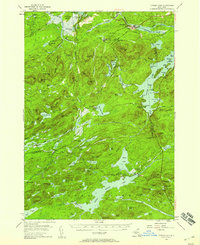
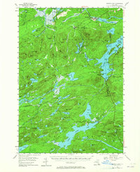
Editions of this 1954 Tupper Lake Map
4 editions found

Other maps of this area

1903 · Big Moose
USGS Topo · 1:62,500

1903 · Raquette Lake
USGS Topo · 1:62,500

1903 · Blue Mountain
USGS Topo · 1:62,500

1904 · Long Lake
USGS Topo · 1:62,500

1905 · Saint Regis
USGS Topo · 1:62,500

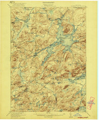
1907 · Tupper Lake
USGS Topo · 1:62,500

1919 · Cranberry Lake
USGS Topo · 1:62,500

1920 · Childwold
USGS Topo · 1:62,500
1921 · Cranberry Lake
USGS Topo · 1:62,500

1921 · Childwold
USGS Topo · 1:48,000