Loading...
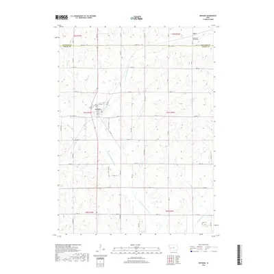
Loading map...1971 Map of Defiance
USGS Topo · Published 1973About this map
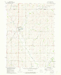
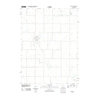
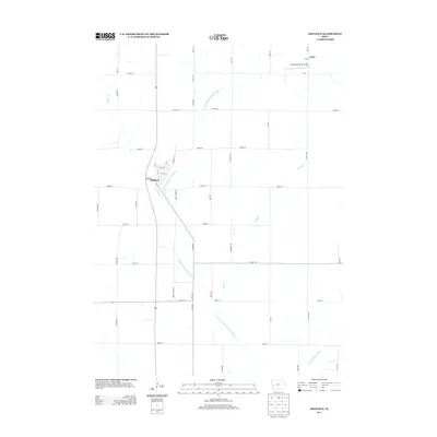
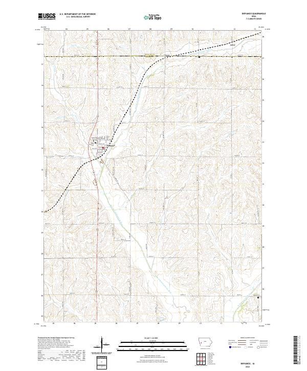
The West Fork Nishnabotna River carves a broad valley through Shelby and Crawford counties, anchoring the agricultural landscape of this western Iowa region in the early 1970s. The town of Defiance serves as a local hub, situated where the Chicago Milwaukee St Paul and Pacific Railroad meets the primary north-south corridor. This survey documents the specific placement of community landmarks, including the St Pauls Cem and Township Cem west of the main settlement.
Find a feature on this map
20 named features on this map. Tap any name to fly to it.
Don’t see what you’re looking for? This feature index may not catch every label — zoom into the map to look around manually.
Map Details
Date Portrayed1971
Date Published1973
PublisherU.S. Geological Survey
Map TypeTopographic
Scale1:24,000
Physical Dimensions22 x 27 inches
Editions of this 1971 Defiance Map
This is the sole edition of this map. No revisions or reprints were ever made.
Historical Maps of Defiance Through Time
6 maps found
Featured Locations
Source Details
SourceU.S. Geological Survey
CopyrightPublic Domain