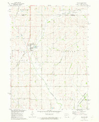
1971 Map of Earling
USGS Topo · Published 1973About this map
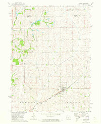
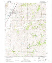
The town of Earling serves as the primary hub of this 1971 Shelby County survey, situated at the junction of the Chicago Milwaukee St Paul and Pacific railroad and local waterways. The landscape is defined by the winding paths of Mosquito Creek, Moser Creek, and Mill Creek, which carve through the townships of Union, Washington, Grove, and Westphalia. To the north, the small settlement of Manteno is adjacent to Manteno County Park and Camp Manteno, providing a glimpse into mid-century recreational land use in western Iowa.
Find a feature on this map
19 named features on this map. Tap any name to fly to it.
Don’t see what you’re looking for? This feature index may not catch every label — zoom into the map to look around manually.
Map Details
Editions of this 1971 Earling Map
This is the sole edition of this map. No revisions or reprints were ever made.
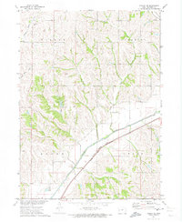
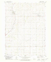
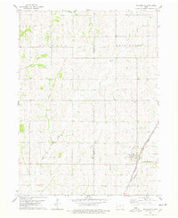
Other maps of this area

1954 · Omaha
USGS Topo · 1:250,000

1957 · Omaha
USGS Topo · 1:250,000

1958 · Omaha
USGS Topo · 1:250,000
1971 · Dunlap
USGS Topo · 1:24,000
1971 · Earling NE
USGS Topo · 1:24,000
1971 · Dow City
USGS Topo · 1:24,000
1971 · Defiance
USGS Topo · 1:24,000
1971 · Dunlap NE
USGS Topo · 1:24,000
1978 · Panama
USGS Topo · 1:24,000
1978 · Portsmouth
USGS Topo · 1:24,000