Loading...
Loading map...1982 Map of Del Muerto
USGS Topo · Published 1983About this map
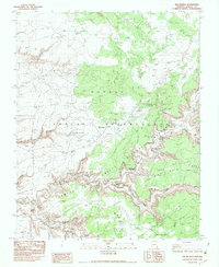
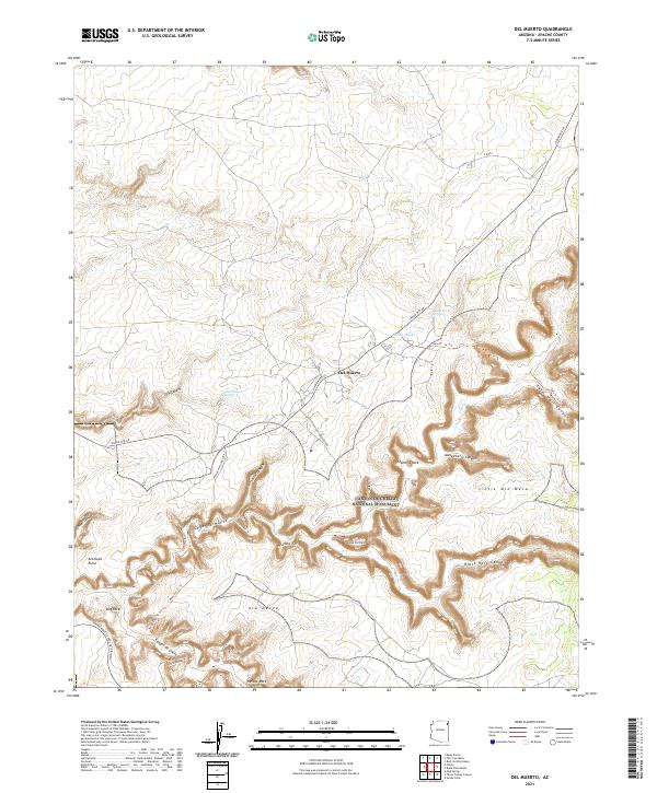
Del Muerto and the surrounding high desert of the Navajo Indian Reservation are the focus of this detailed 1980s provisional study. The landscape is defined by the deep incisions of Canyon and Twin Trail Canyon, which house an extraordinary concentration of archaeological sites. Many of these locations, such as the Mummy Cave Ruins and Antelope House Ruins, are situated along the canyon floors and walls, protected by the overhangs of Middle Mesa and Little Middle Mesa.
Find a feature on this map
45 named features on this map. Tap any name to fly to it.
Don’t see what you’re looking for? This feature index may not catch every label — zoom into the map to look around manually.
Map Details
Date Portrayed1982
Date Published1983
PublisherU.S. Geological Survey
Map TypeTopographic
Scale1:24,000
Physical Dimensions22 x 26.8 inches
Editions of this 1982 Del Muerto Map
This is the sole edition of this map. No revisions or reprints were ever made.
Historical Maps of Chinle Agency Through Time
5 maps found
Featured Locations
- United States
- Apache County, AZ
- Chinle Agency, AZ
- Del Muerto, Chinle Agency
- Junction Overlook, Chinle Agency
Source Details
SourceU.S. Geological Survey
CopyrightPublic Domain