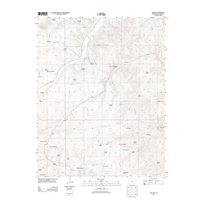
2013 Map of Delagua
USGS Topo · Published 2013About this map
Apishapa River and its numerous carved tributaries define this portion of Las Animas County, where the landscape is a network of named canyons and flats. The settlements of Delagua, Vallorso, and Gulnare anchor the area, reflecting the historic ranching and mining communities that populated this canyon-and-mesa country. For genealogists and local historians, the Trujillo Creek Cem and Albertson Cem provide specific points of interest for family research. The terrain is marked by distinct geographical features such as Tollerburg Flats, Prairie Dog Flat, and the Bald Knobs. Water sources like Bear Canyon Spring and Canyon Del Agua Spring indicate the critical locations of natural springs in this arid environment, while the Chicosa Arroyo winds through the southeastern quadrant. This survey also documents an extensive system of rural routes, including Trujillo Creek Rd and Tollerberg Rd, connecting these remote points of habitation.
Find a feature on this map
64 named features on this map. Tap any name to fly to it.
Don’t see what you’re looking for? This feature index may not catch every label — zoom into the map to look around manually.
Map Details
Editions of this 2013 Delagua Map
This is the sole edition of this map. No revisions or reprints were ever made.
Other maps of this area

1891 · Spanish Peaks
USGS Topo · 1:125,000

1893 · Spanish Peaks
USGS Topo · 1:125,000

1895 · Spanish Peaks
USGS Topo · 1:125,000

1897 · Spanish Peaks
USGS Topo · 1:125,000

1900 · Spanish Peaks
USGS Topo · 1:125,000

1951 · Trinidad
USGS Topo · 1:24,000

1951 · Madrid
USGS Topo · 1:24,000

1954 · Trinidad
USGS Topo · 1:250,000

1955 · Trinidad
USGS Topo · 1:250,000

1958 · Trinidad
USGS Topo · 1:250,000