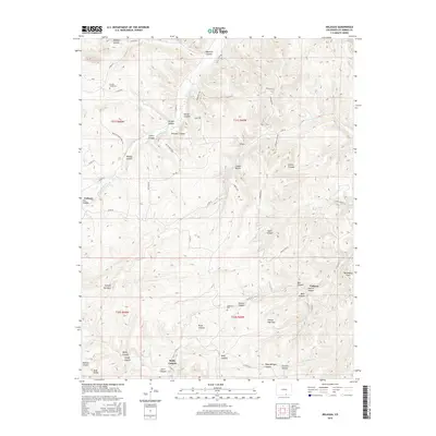
2016 Map of Delagua
USGS Topo · Published 2016About this map
Vallorso and the small settlement of Delagua anchor this 2016 survey of southern Colorado, where the high plains meet a complex network of canyons. The landscape is defined by its drainage systems, including the Apishapa River and Chicosa Arroyo, which have carved dozens of named topographic features such as Mauricio Canyon, Wolf Canyon, and Reilly Canyon. These landforms dictate the placement of ranch roads and historic sites, revealing a settlement pattern centered on narrow valleys and occasional level terrain like Prairie Dog Flat.
Find a feature on this map
69 named features on this map. Tap any name to fly to it.
Don’t see what you’re looking for? This feature index may not catch every label — zoom into the map to look around manually.
Map Details
Editions of this 2016 Delagua Map
This is the sole edition of this map. No revisions or reprints were ever made.
Other maps of this area

1891 · Spanish Peaks
USGS Topo · 1:125,000

1893 · Spanish Peaks
USGS Topo · 1:125,000

1895 · Spanish Peaks
USGS Topo · 1:125,000

1897 · Spanish Peaks
USGS Topo · 1:125,000

1900 · Spanish Peaks
USGS Topo · 1:125,000

1951 · Trinidad
USGS Topo · 1:24,000

1951 · Madrid
USGS Topo · 1:24,000

1954 · Trinidad
USGS Topo · 1:250,000

1955 · Trinidad
USGS Topo · 1:250,000

1958 · Trinidad
USGS Topo · 1:250,000